What is recorded here
Hot water hissed in clay-lined troughs on the Nore flood-plain, feeding lives that no longer remember their own names. Several centuries apart, people returned to the same ridge, cut new pits, and buried the old ones beneath rubble and charcoal. Alder, hazel, yew and oak cracked in the heat while troughs waited open for rain, roots and forgotten use. The river took the rest, but the burnt mound still holds the shape of every hand that fed it.
At the edge of the SW flood-plain of the River Nore, on a small ridge of natural boulder clay, enhanced to produce a flat platform. Two conjoined fulachta fia (KK019-109---- and KK019-110) were uncovered during archaeological monitoring for the Kilkenny Flood-Relief Scheme (Phelan licence no. 01E0821) and subsequently excavated by Stevens (licence no. 02E1237) in 2002 (Stevens 2004, 273-4). The following description is based on Stevens published summary and unpublished excavation report.
The fulachta fiadh, where were dated to the Middle and Late Bronze Age, consisted of a single, irregular, sprawling, denuded burnt mound (L 20m N-S; Wth 12.5m; min. 0.42m), with four circular or ovoid troughs and a number of other, smaller, ephemeral features. Three lithic artefacts were also recovered, including a broken plano-convex knife of Antrim flint and two chert cores from the southern periphery of the burnt mound.
Trough A (diam. 2.3m; D 0.75m), to the S, was a backfilled oval pit, partially lined with clay, at the SE end of the mound. It was circular with a U-shaped profile and straight or slightly concave slides and a concave base. Trough B1 (min. L 0.9m N-S; Wth 1.59m; D 0.35m) was a shallow ovoid or rectangular pit at the N end, possibly originally lined with wicker, as evidenced by an arc of stake-holes. This was cut and truncated to the S by Trough B2 (L 1.6m N-S; Wth 1.5m; D 0.95m), a larger, deeper, oval, flat-bottomed trough containing residues of partially shattered stone and charcoal. The trough was obviously open for some time and contained roots and straw from pondweed. Trough C (L 1.6m E-W; Wth 1.2m; D 0.56m) was S of the mound, close to Trough A. It consisted of an irregular oval-shaped pit, with U-shaped profile, steep straight sides and a flat base. It has a sandy silt deposit at the base, indicating that the trough was open for a time before being backfilled. Trough D (diam. 1.7m; D 0.39m) was a very shallow circular pit adjacent to Trough A and may have been a firing pit rather a trough.
Analysis of the charcoal revealed that eight species, of largely young branches, were used across the site: alder, birch, hazel, ash, apple-type, elm, oak and yew. Two radiocarbon samples were submitted to Glasgow University. A 2-sigma date of cal. 1390-1010 BC (GU-10559) was produced from Trough A, and a 2-sigma date of cal. 1920-1630 BC (GU-10560) was obtained from Trough B1. These suggested that there were in fact two fulacht fia, one with an incutting trough complex that was left open for some time. Several hundred years later, a second fulacht fia immediately to the S was built, with two or three troughs.
Compiled by: Jean Farrelly
Date of upload: 20 October 2020
The monument record does not grant public access. Check the route and ask the landowner before entering private land.
- What survives
- Recorded monument
Places near here
 Michael CarthyMemorial · 164 yd
 Ivan PowerMemorial · 169 yd
 Saint Canice's Hospitalhospital/infirmary · 552 yd
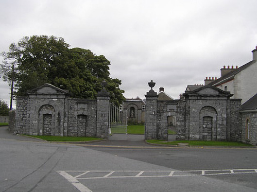 Saint James's Asylumgates/railings/walls · 731 yd
 Enclosure in Dukesmeadows (shillelogher By., St. Patrick's Par.)Enclosure · 771 yd
 Enclosure in ArchersgroveEnclosure · 780 yd
 CastleCastle, unclassified · 914 yd
 Kilkenny Castle ParkVisitor information · 1130 yd
 Kilkenny County Council Car ParkVisitor information · 1159 yd
 TholselHeritage attraction · 1527 yd
 Grace's Old CastleCastle · 1756 yd
 Smithwick's Brewery ExperienceHeritage attraction · 1.0 mi