What is recorded here
Located at the E edge of a little basin (diam. c. 100m) at the bottom of the ENE-WSW ridge of Slieve na Calliagh, with a slight hill rising c. 100m to the N. This is a circular grass-covered mound (diam. of base 5.3m NE-SW; 5.1m NW-SE; max. H c. 0.5m), with material extending off to the NW and SE (L c. 12m NW-SE). Burnt stone has been recovered from it. Fulacht fia (ME009-081----) is c. 120m to the SE. Archaeological testing (20E0672) by P. D. Sweetman (2020b) on a site (c. 0.5 ha) c. 50m to the SE at the closest point produced no related material.
The above description is derived from the published 'Archaeological Inventory of County Meath' (Dublin: Stationery Office, 1987). In certain instances the entries have been revised and updated in the light of recent research.
Compiled by: Michael Moore
Date of revision: 1 November 2018
Amended: 14 October 2025
The monument record does not grant public access. Check the route and ask the landowner before entering private land.
- What survives
- Recorded monument
Places near here
 Enclosure in Ballinvally,drumsawry OR SummerbankEnclosure · 589 yd
 Enclosure in BallinvallyEnclosure · 673 yd
 LoughcrewMegalithic tomb cemetery · 678 yd
 Carnbane WestMountain / peak · 846 yd
 C11Named rock · 874 yd
 Loughcrew Megalithic TombsHeritage attraction · 914 yd
 Slieve Na CalliaghMountain / peak · 997 yd
 indicatedChurch · 1195 yd
 CastleCastle, unclassified · 1215 yd
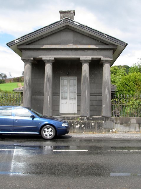 Loughcrew Housegate lodge · 1.0 mi
 Common LimeCommon Lime · 1.2 mi
 European YewEuropean Yew · 1.2 mi