What is recorded here
Two fire-shattered mounds stand in the cutaway bog of Dromteewakeen, their broken stones still warm to the eye after millennia. The larger opens east toward a shallow basin, while the second lies three metres away like a forgotten shadow. Water from the nearby stream may have filled these basins, heating stones until they cracked and hissed. People perhaps cooked food, cleaned tools or gathered beside the steam when the valley went dark. The uncut peat bank nearby marks the edge of human change, preserving the shape of that lost activity.
This horseshoe-shaped mound is located in cutaway bog on the floor of the Bridia Valley, between a modern drain and a small stream which joins the Caragh river a short distance to N. Its overall dimensions are 10.5m N-S x 7m E-W. It is open to E, where a roughly oval-shaped depression, 2.5m N-S x 3.55m E-W occurs. The mound, composed of fire-shattered stones, survives to an average height of .6m above surrounding ground level. Three shallow depressions occur in its upper surface. Just 3m to E is a second fulacht fiadh which survives as a low, broad, horseshoe-shaped mound of similar composition to the first. Measuring 11.5m N-S x 5m E-W, it reaches a maximum height of .3m. Approximately 30m to W of these sites is an uncut bank of peat which measures 1.4m high.
The above description is derived from A. O'Sullivan and J. Sheehan (compilers), 'The Iveragh peninsula: an archaeological survey of South Kerry'. Cork University Press (1996), no. 426. In certain instances the entries have been revised and updated in the light of recent research.
Date of upload: 28 July 2013
The monument record does not grant public access. Check the route and ask the landowner before entering private land.
- What survives
- Recorded monument
Places near here
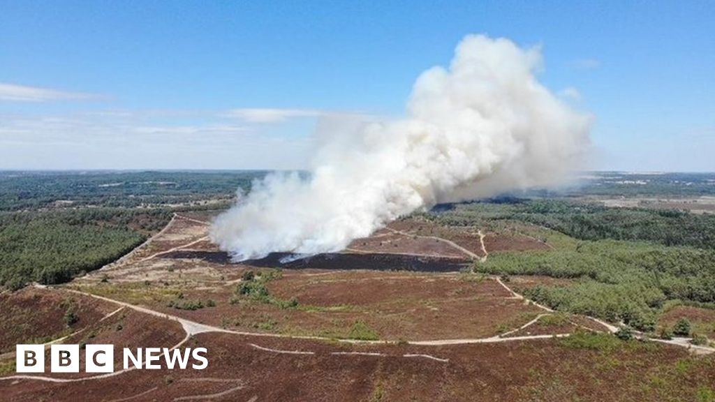 Burnt spread in DromteewakeenBurnt spread · 83 yd
 Beann DheargMountain / peak · 1391 yd
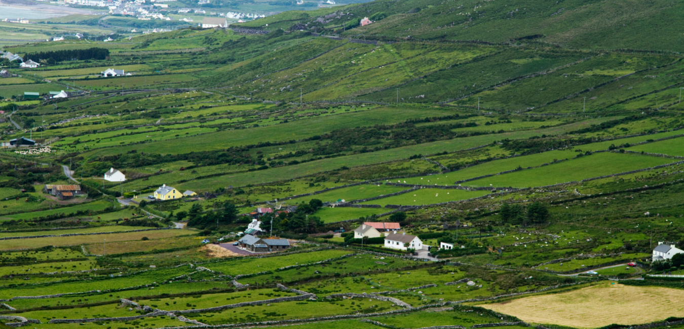 Beann BhánMountain / peak · 1.3 mi
 Ballaghbeama GapViewpoint · 1.7 mi
 Megalithic structure in DerreenyMegalithic structure · 2.0 mi
 CarrauntoohilMountain / peak · 3.4 mi
 Devil's Ladder RouteWalking route · 4.6 mi
 Blackstones Bridgebridge · 4.7 mi
 Crash site of USAAF DakotaHeritage attraction · 5.1 mi
 Penitential station in TreanmanaghPenitential station · 6.4 mi
 Castle Core (in Ruins)Castle, tower house · 8.7 mi
 Lough Nambrackdarrig Nature ReserveNature reserve · 9.0 mi