What is recorded here
On a small grassy patch in open karst 15m W of a natural spring well. It is surrounded by higher rocky ground on all sides except for to the W. Indicated on Robinson’s (1997) map of the Burren. A large, well-preserved, oval mound (23m ENE-WSW; 12m ESE-WNW; max. H 1.2-1.6m) bisected by a narrow trench, either side of which there are depressions. The depression to the W is deepest (D 1.45m). The depressions probably mark the sites of troughs, and the narrow trench may have fed them with water. The nearby well is surrounded by a modern wall.
The following image has been uploaded:
CL005-059----_01 View of fulacht fia from NE.
Compiled by: Mary Tunney and Ros Ó Maoldúin
Date of upload: 5 July 2022
The monument record does not grant public access. Check the route and ask the landowner before entering private land.
- What survives
- Recorded monument
Places near here
 IndicatedEnclosure · 201 yd
 Enclosure in Dangan (burren By.)Enclosure · 387 yd
 Moneen MountainMountain / peak · 1.1 mi
 mausoleummausoleum · 1.3 mi
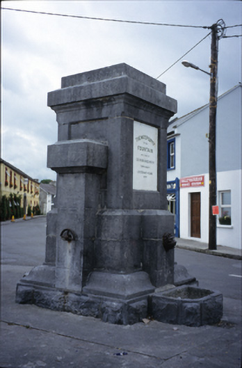 Ballyvaghan Fountainfountain · 1.5 mi
 Aillwee CaveCave · 1.5 mi
 Bird Of Prey CentreHeritage attraction · 1.6 mi
 Castle Mael (in ruins)Castle, unclassified · 1.6 mi
 Ballyvaghan Castle (in ruins)Castle, unclassified · 1.7 mi
 Rine PointHeadland · 2.6 mi
 Gleninshing portal tombHeritage attraction · 3.1 mi
 CappanawallaMountain / peak · 3.5 mi