What is recorded here
Identified in centre-line testing, and excavated (E3355) as Currinah IV during 2006 as part of the N5 Charlestown by-pass road. Situated in a low-lying basin. An oval mound of burnt stone (dims. 8.4m E-W; 3.8m N-S; T 0.2-0.3m) overlay a stone and wood-lined trough (ext. dims. 1.7m N-S; 0.7-0.9m E-W; D 0.2m) with a base of brushwood and split roundwood. It produced C14 dates between 1254-1045 Cal. BC. (Kerrigan 2009a; Kerrigan and Gillespie 2010a, 133-7)
Compiled by: Michael Moore
Date of upload: 24 August 2010
The monument record does not grant public access. Check the route and ask the landowner before entering private land.
- What survives
- Recorded monument
Places near here
 CaveHoly well · 930 yd
 Dermot and Granias BedMegalithic structure · 1.3 mi
 Bockagh HillMountain / peak · 1.8 mi
 farm housefarm house · 2.0 mi
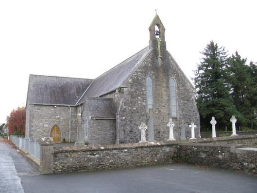 Saint James's Catholic Churchchurch/chapel · 2.0 mi
 Casatle (ruins)Castle, unclassified · 3.5 mi
 Old Cave Burial GroundArchaeological place · 3.7 mi
 CastleCastle, unclassified · 4.2 mi
 Crow IslandIslet · 8.4 mi
 Castle PointHeadland · 8.7 mi
 Rose PointHeadland · 8.8 mi
 Bawn IslandIslet · 8.8 mi