What is recorded here
Reported as one of “a group of four fulachta fia, close to a spring well” along with nearby MA070-010001- to the W, MA070-010003- to the SW and MA070-010004- to the SSW (SMR file). In low-lying wet marshy ground and at the E foot of a ridge of poor grazing. Visible as a slightly raised, roughly circular, grassy and stony area (diam. 10m; H 0.2-0.8m).
Compiled by: Gearóid Conroy and Leo Morahan
Date of upload: 30-10-2025
The monument record does not grant public access. Check the route and ask the landowner before entering private land.
- What survives
- Recorded monument
Places near here
 Church in Cunnagher SouthChurch · 550 yd
 Ritual siteRitual site, holy/saint's stone · 831 yd
 IndicatedFairy fort / ringfort · 1373 yd
 Park Bridgebridge · 1.8 mi
 Castle in RuinsCastle, unclassified · 2.0 mi
 CastleCastle, unclassified · 2.7 mi
 National Museum of Ireland, Country LifeMuseum · 2.7 mi
 Sunken GardenWood · 2.8 mi
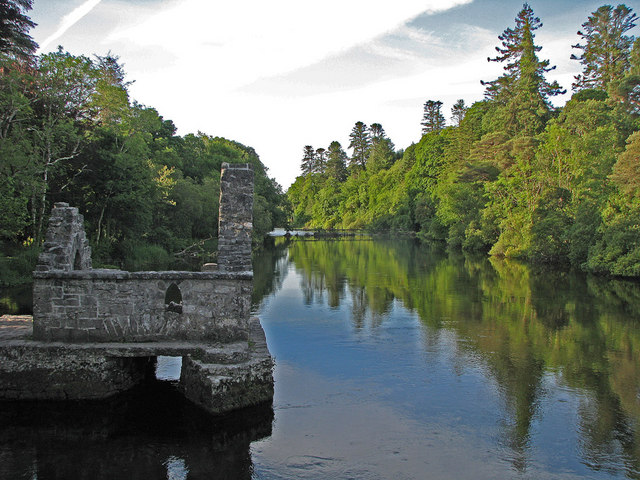 River WoodWood · 2.9 mi
 FarbreigaMountain / peak · 3.4 mi
 Michael DavittMemorial · 3.9 mi
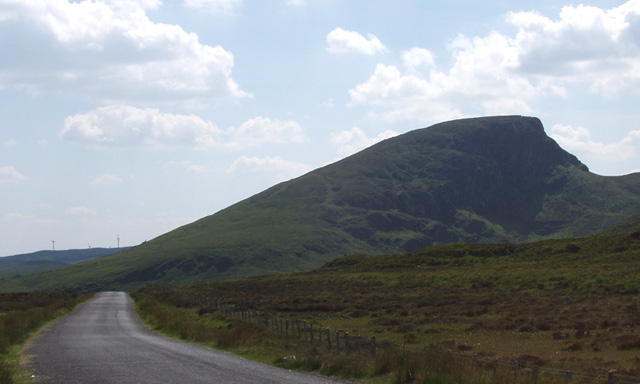 BurrenMountain / peak · 4.4 mi