What is recorded here
In marshy pasture, subsequently developed as a housing estate. A mound (8m N-S; 8m E-W; H 0.4m), consisting of six layers of burnt material, was excavated prior to the housing development (Kiely 2001; 2003a, 163). A recut oval trough (2.6m x 1.9m; D 0.4m), from which some waterlogged wood fragments were recovered, was found at the E side. Traces of a possible stone kerb for the mound were also found. A stone trackway (KE066-058002-) was uncovered 13m to the N of the fulacht fia (Dennehy 2001a, 6). Two separate deposits of fulacht fia material, one of which overlay the stone trackway, were found to the N and were interpreted as redeposition of mound material (ibid.). There are no visible remains of this fulacht fia.
Compiled by: Elizabeth Byrne, Ursula Egan and Sheila Ronan, Archaeological Survey Unit, University College, Cork.
Date of upload: 31 January 2011
This remains an important historical record, but the official description says the monument is no longer visible or has been destroyed. The monument record does not grant public access. Check the route and ask the landowner before entering private land.
- What survives
- No visible remains or recorded as destroyed
Places near here
 RoadRoad, road/trackway · 10 yd
 Fulacht FianFulacht fia · 304 yd
 Fulachta fianBurnt spread · 353 yd
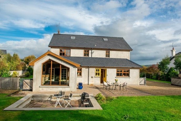 Coolgarriv HouseCountry house · 491 yd
 Famine MemorialMemorial · 1463 yd
 GinkgoGinkgo · 1.1 mi
 Kerry 2nd Brigade of the Irish Republican ArmyMemorial · 1.2 mi
 Circular WalkWalking route · 1.2 mi
 Giant SequoiaGiant Sequoia · 1.2 mi
 Aghadoe Early Medieval Ecclesiastical SiteHeritage attraction · 1.3 mi
 Parkavonear CastleCastle · 1.3 mi
 Jaunting ToursHeritage attraction · 1.5 mi