What is recorded here
The site was discovered during fieldwalking of the ploughed route of the N52 Nenagh Bypass link road (Hughes and O'Brien 1999). Another burnt spread (TN020-138) lies c.90m to the NE. The site (dims. c.5m x 7m) consisited of a spread of burnt stones (ibid.). At least two large boulders were situated at the edge of the spread and may form part of the site (ibid.).
Compiled by: Caimin O'Brien.
Date of upload: 22 September 2008
The monument record does not grant public access. Check the route and ask the landowner before entering private land.
- What survives
- Recorded monument
Places near here
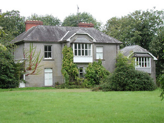 Brook Watson Househouse · 1097 yd
 Richmond Ho.House, fortified house · 1147 yd
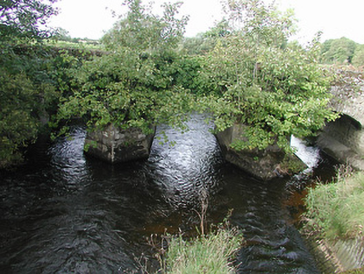 Nenagh Bridgebridge · 1307 yd
 St. Johns WellHoly well · 1361 yd
 Nenagh Heritage CentreMuseum · 1726 yd
 Enclosure in Rathnaleen NorthEnclosure · 1.0 mi
 Old BarracksHeritage attraction · 1.1 mi
 Nenagh CastleCastle · 1.1 mi
 Knigh HillMountain / peak · 3.2 mi
 James Devaney MemorialMemorial · 3.4 mi
 Gibbet HillMountain / peak · 3.7 mi
 Blessed WellNature reserve · 4.0 mi