What is recorded here
In boggy terrain. Identified by Prendergast (1977, 267). A low, horseshoe-shaped mound (max. dims. 14m N-S; 12m E-W) of burnt stones and charcoal.
Compiled by: Jean Farrelly
Date of upload: 23 February 2016
The monument record does not grant public access. Check the route and ask the landowner before entering private land.
- What survives
- Recorded monument
Places near here
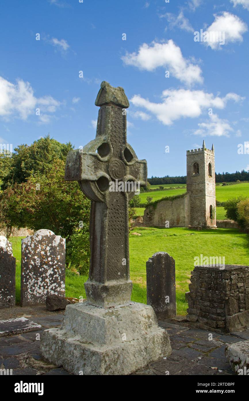 IndicatedFairy fort / earthen ringfort · 993 yd
 Church in Coan WestChurch · 1.1 mi
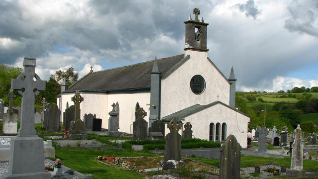 Saint Brigid's Catholic Churchchurch/chapel · 1.1 mi
 Glenmullen WoodWood · 1.8 mi
 Church (Site of) Graveyard St. LongorysChurch · 1.9 mi
 Uskerty WoodForest · 2.0 mi
 Kilgorey Old BurialVisitor information · 2.2 mi
 Footprints In CoalMuseum · 3.1 mi
 Estate YardMemorial · 3.1 mi
 The GarrisonCastle, motte · 3.1 mi
 Castlecomer Discovery ParkHeritage attraction · 3.1 mi
 1798Memorial · 3.2 mi