What is recorded here
A fulacht fia was excavated here in 2003 (Excavation Licence 03E0592 (Site CA1)). The burnt mound (L 14m E-W; Wth 11.5m; D 0.2m) sealed four troughs and a number of post-holes and stake-holes were found associated with the troughs. One of the troughs (D c. 1m) had a wattle lining which predated an internal lining of roundwoods on the E and W sides, and timber plank flooring. Set in the base of this trough was a set of six prehistoric pipes, made of yew and thought to be part of a musical instrument. A radiocarbon date of between 2120 and 2085 BC was obtained from a peg used in the construction of the trough lining. (Molloy 2006, 545; Molloy 2004, 5)
Compiled by: Claire Breen
Date of upload: 16 January 2013
The monument record does not grant public access. Check the route and ask the landowner before entering private land.
- What survives
- Recorded monument
Places near here
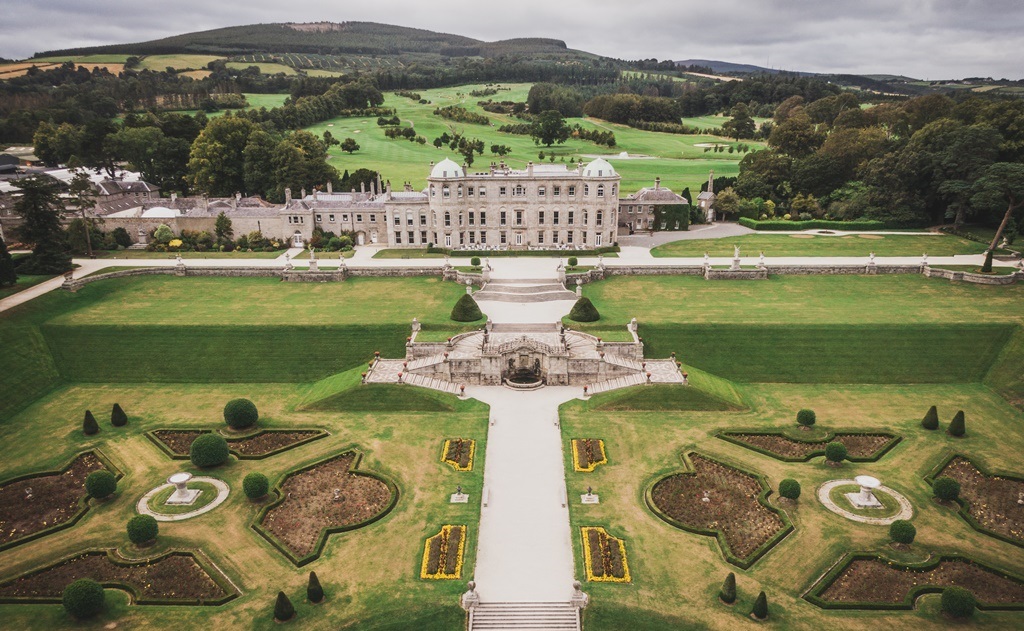 Enclosure in CharleslandEnclosure · 293 yd
 Church (in Ruins)Church · 774 yd
 Enclosure in Ballynerrin (newcastle By., Kilcoole Ed)Enclosure · 848 yd
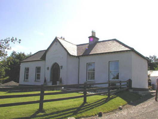 The Prioryhouse · 1277 yd
 TuliptreeTuliptree · 1512 yd
 Glenroe FarmHeritage attraction · 1743 yd
 Greystones South BeachBeach / strand · 1.1 mi
 Delgany Heritage TrailWalking route · 1.3 mi
 Kindlestown Castle (in ruins)Castle, hall-house · 1.4 mi
 The CoveBeach / strand · 1.5 mi
 Kindlestown WoodForest · 2.2 mi
 Greystones WayWalking route · 2.3 mi