What is recorded here
Exposed during archaeologically monitored of topsoil-stripping in advance of residential development in 2003 (Excavation Licence 03E1821 (Site 1A)). A trough (L 1.9m NE-SW; Wth 1.65m; D 0.6m) contained six timbers at the base and had wattle lining on the E and S edges of the cut. Four shallow pits were located to the N of the trough. No trace of a burnt mound was found. Remains of a possible enclosure (WI013-071001-) were uncovered to the W. (Molloy 2006, 545)
Compiled by: Claire Breen
Date of upload: 17 January 2013
The monument record does not grant public access. Check the route and ask the landowner before entering private land.
- What survives
- Recorded monument
Places near here
 Enclosure in CharleslandEnclosure · 1 yd
 Enclosure in Ballynerrin (newcastle By., Kilcoole Ed)Enclosure · 829 yd
 Church (in Ruins)Church · 967 yd
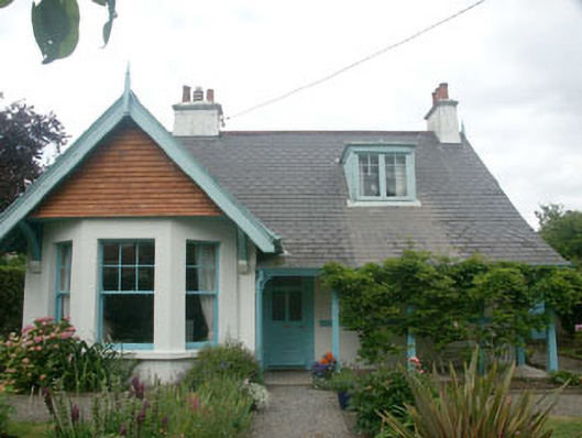 Merritonhouse · 1025 yd
 TuliptreeTuliptree · 1386 yd
 Greystones South BeachBeach / strand · 1700 yd
 Glenroe FarmHeritage attraction · 1.2 mi
 Delgany Heritage TrailWalking route · 1.2 mi
 Kindlestown Castle (in ruins)Castle, hall-house · 1.3 mi
 The CoveBeach / strand · 1.3 mi
 Rathdown Castle (in ruins)Castle, unclassified · 2.0 mi
 Kindlestown WoodForest · 2.0 mi