What is recorded here
In pastureland to the S of a pond fed by a small stream. Described by Cody (1989, 158, no. 15) as a large oval grass-covered mound (12m N-S; 6m E-W; H 1m), which narrowed slightly at its N end. Though lacking the classic horse-shoe shape he classified it as a fulacht fia. An exposed section at S indicated that it was composed of burnt stone. A small circular grass-covered mound (diam. 3m; H 0.5m), c. 3m to N, may also be composed of burnt stone (ibid.). Another fulacht fia (GA096-055----) lies c. 80m to the NNE.
Compiled by: Galway Archaeological Survey, UCG
Date of upload: 18 November 2019
The monument record does not grant public access. Check the route and ask the landowner before entering private land.
- What survives
- Recorded monument
Places near here
 Templekilmona Church (in ruins)Church · 123 yd
 WillmountCountry house · 170 yd
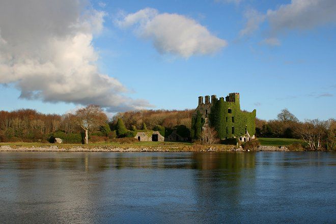 IndicatedFairy fort / stone ringfort · 627 yd
 Enclosure in CloranEnclosure · 1262 yd
 Derrydonnell Castle (in ruins)Castle, tower house · 1.9 mi
 Athenry AbbeyHeritage attraction · 2.2 mi
 Athenry CastleHeritage attraction · 2.3 mi
 Castle or King Johns Court (in ruins)Castle, Anglo-Norman masonry castle · 2.3 mi
 Horse-chestnutHorse-chestnut · 2.4 mi
 Moyard WoodWood · 2.8 miFirst Battle of Athenrybattle · 2.9 mi
 Leadmine HillMountain / peak · 8.6 mi