What is recorded here
On a steep slope on S side of Gleann Glaise overlooking the Bealanabrack River. It consists of an oval to subrectangular area (E-W 4.5m, N-S 3m) defined by a line of small boulders. This is adjoined on the downslope side by a mound (D 6m, H 0.6-2m) composed of shattered sandstone, some quartz and humic earth. Though there is no stream in the area, there is considerable surface run-off. In the same valley as GA025-016---- and GA025-021----.
The above description is derived from the published 'Archaeological Inventory of County Galway Vol. I - West Galway'. Compiled by Paul Gosling (Dublin: Stationery Office, 1993).
Date of upload: 05 August 2010
The monument record does not grant public access. Check the route and ask the landowner before entering private land.
- What survives
- Recorded monument
Places near here
 Fulacht fia in Cartrún An PhónaFulacht fia · 328 yd
 Taobh DubhMountain / peak · 1.1 mi
 Knocknahillion North TopMountain / peak · 1.1 mi
 Tobernashaght-ninneenHoly well · 2.1 mi
 R.C. ChapelChapel · 2.5 mi
 Eaglais Breith Chríost [Catholic Church of the Nativity]church/chapel · 2.5 mi
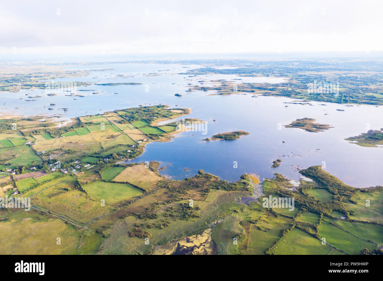 Red IslandIslet · 3.2 mi
 Crows IslandIslet · 3.3 mi
 WaterfallHeritage attraction · 3.4 mi
 The Sheep And Wool Heritage CentreHeritage attraction · 4.4 mi
 Derryclare Nature ReserveNature reserve · 4.7 mi
 HawthornHawthorn · 5.6 mi