What is recorded here
The presence of a fulacht fia was noted within the southern portion of one of the plots proposed for felling on the Harvest Maps submitted as part of a felling licence application to the Forest Service of the Dept. of Agriculture, Food & the Marine. A circular unplanted area measuring c. 35 – 40m in diameter marks the location of the possible fulacht fia at present. Notably, the southern portion of the present forest plantation is depicted as an area of rough pasture on the banks of a watercourse with surrounding dryland depicted on all editions of the historic OS maps.
Compiled by: Séamus Ó Murchú (Archaeologist, Dept. of Agriculture, Food & the Marine)
Date of upload/revision: 8 November 2021
The monument record does not grant public access. Check the route and ask the landowner before entering private land.
- What survives
- Recorded monument
Places near here
 Enclosure in GarryleaghEnclosure · 1320 yd
 Holy well in ChurchquarterHoly well · 1620 yd
 Kilbeheny Church (in ruins)Church · 1729 yd
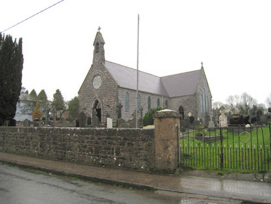 Saint Joseph's Catholic Churchchurch/chapel · 1.1 mi
 Kilbeheny Castle (in ruins)Castle, tower house · 1.6 mi
 Skeheen MountainMountain / peak · 2.7 mi
 John MandevilleMemorial · 2.7 mi
 Mitchelstown Town MapVisitor information · 2.8 mi
 Statue of Saint FanahanMemorial · 2.8 mi
 CastleCastle, ringwork · 2.8 mi
 Curraleigh MountainMountain / peak · 3.4 mi
 Coopers WoodWood · 3.8 mi