What is recorded here
Fire shattered the stones before ploughing smoothed them into a low ridge, yet the buried heat still belongs to the field. Men may have boiled water or cooked meat beside that mound, then walked away while the land forgot their names. The stones do not argue with the charge; they wait for patience.
Located c. 50m S of KE065-035----, this fulacht fiadh has been virtually levelled by ploughing. The mound was composed of fire-shattered stone and its location is now marked by a low raised area, .15m high, which measures 6m N-S x 6.5m E-W.
The above description is derived from A. O'Sullivan and J. Sheehan (compilers), 'The Iveragh peninsula: an archaeological survey of South Kerry'. Cork University Press (1996), no. 409. In certain instances the entries have been revised and updated in the light of recent research.
Date of upload: 30 July 2013
The monument record does not grant public access. Check the route and ask the landowner before entering private land.
- What survives
- Recorded monument
Places near here
 IndicatedFairy fort / earthen ringfort · 247 yd
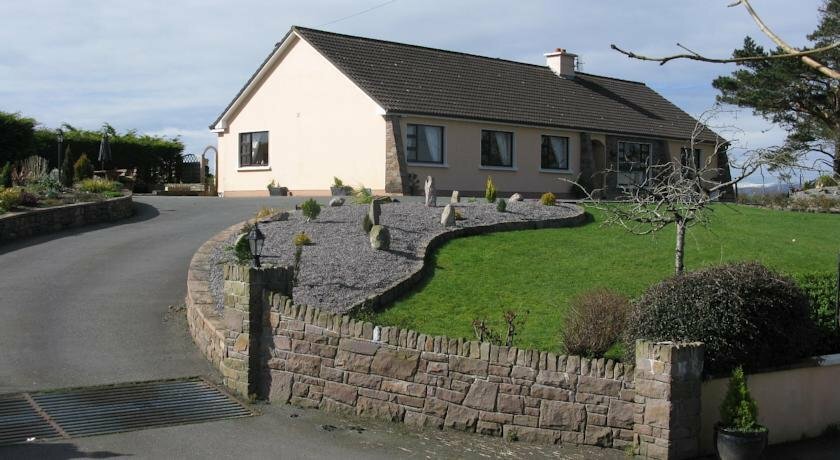 Hut site in KilgobnetHut site · 348 yd
 Killoughane Church (in Ruins)Church · 1.5 mi
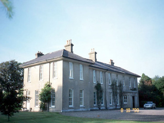 The Reekscountry house · 1.6 mi
 Ballymalis Castle (in ruins)Castle, tower house · 1.9 mi
 Ballymalis CastleCastle · 1.9 mi
 KnockbrackMountain / peak · 2.5 mi
 KnockroeMountain / peak · 2.8 mi
 King Puck statueMemorial · 3.7 mi
 Dunloe Ogham StonesHeritage attraction · 3.8 mi
 Devil's Ladder RouteWalking route · 3.9 mi
 Japanese pagoda treeJapanese pagoda tree · 4.0 mi