What is recorded here
Hot stones cracked and flew when water struck them, filling the air above Calliaghstown with steam and smelling of wet earth. People may have cooked flesh, cleaned wool or gathered to watch the mound breathe after darkness. The date comes from hazel charcoal in a nearby pit, not the trough itself, yet the shape and heat damage leave little doubt about the purpose.
Situated on a slight E-facing slope overlooking a local hollow. Archaeological testing (04E1052) by G. McLoughlin (2005) at Testing Area 1 of Contract 5 of the M3 motorway identified two spreads of broken and burnt stone c. 40m apart (excavations.ie 2004:1194) which were fully excavated (E003165) by S. Reilly in November and December 2006 as Calliaghstown 2. This is an irregularly shaped spread of charcoal-rich clay and heat-shattered stones (dims 20m x 19.5m; max. T 0.44m) that sealed a sub-rectangular trough (2.26m plus E-W; 1.8m N-S; D 0.4m) and an oval pit (dims 1.5m x 0.94m; D 0.26m). The mound and the E edge of the trough were cut by a N-S post-medieval stone drain (Wth 2m; D 0.7m). Three stake-holes were in the two surviving corners of the trough. A subrectangular pit (dims 2.64m x 1.9m; D 0.48m) was just NW of the burnt spread but its fill of broken and burnt stone indicates it is probably contemporary, and a sample of hazel charcoal from its base produced a C14 date of 957-806 cal. BC (Beta 247133). No artefacts were recovered from the excavation but a barbed and tanged arrowhead was recovered in the topsoil of Calliaghstown 2. Fulacht fia (ME016-080002-) is c. 40m to the SE. (Reilly and Ginn 2008, 1-2)
See the attached plan from Reilly and Ginn (2008, fig. 8)
Compiled by: Michael Moore
Date of upload: 4 March 2022
The monument record does not grant public access. Check the route and ask the landowner before entering private land.
- What survives
- Recorded monument
Places near here
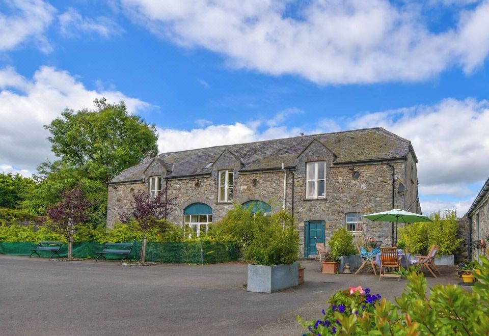 Enclosure in Calliaghstown (kells Upper By.)Enclosure · 445 yd
 Enclosure in Boolies (kells Upper By., Burry Ed)Enclosure · 480 yd
 Lackmelch RockfieldWood · 750 yd
 Long WoodForest · 1263 yd
 Tower of Lloydmonument · 1.2 mi
 The Pauper's CemeteryMemorial · 1.2 mi
 Great Famine ProjectMemorial · 1.2 mi
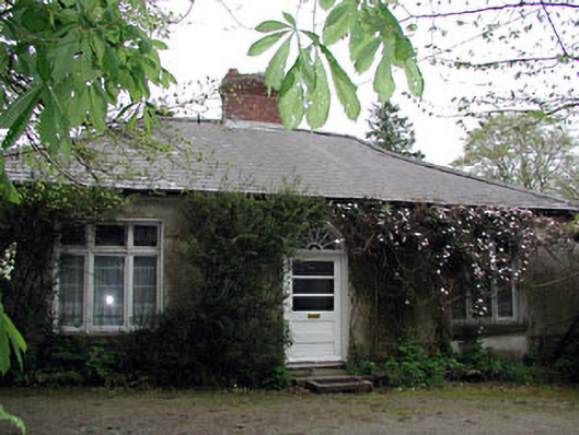 Westfield Cottagehouse · 1.3 mi
 CastleCastle, motte · 2.2 mi
 MountainpoleMountain / peak · 2.5 mi
 CloncatMountain / peak · 2.7 mi
 Castle ruinsCastle · 2.8 mi