What is recorded here
Some 90m NE of a stream in an area subject to flooding. This fulacht fia is defined by a kidney-shaped mound (10.1m ENE-WSW; 6.8m ESE-WNW; H 0.7m) with a trough area (Wth 1.64m; D 1.24m) opening towards the SSE. Another fulacht fia (GA103-083----) lies c. 130m to the SW.
Compiled by: Galway Archaeological Survey, UCG
Date of upload: 18 November 2019
The monument record does not grant public access. Check the route and ask the landowner before entering private land.
- What survives
- Recorded monument
Places near here
 Man-made underground passage in CaherweelderMan-made underground passage · 65 yd
 CaherbegFairy fort / stone ringfort · 475 yd
 Kiltiernan Church (in ruins)Church · 1487 yd
 Dunkellin Castle (in ruins)Castle, tower house · 1.1 mi
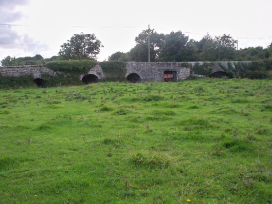 Dunkellin Bridgebridge · 1.2 mi
 Castlegar (in ruins)Castle, unclassified · 1.4 mi
 Kilcornan ForestWood · 2.5 mi
 Drumacoo Monastic SiteHeritage attraction · 3.1 mi
 Loughaun WoodWood · 3.1 mi
 Drumharsna CastleHeritage attraction · 3.7 mi
 MweenisharanIslet · 4.7 mi
 Mulroney's IslandIslet · 5.7 mi