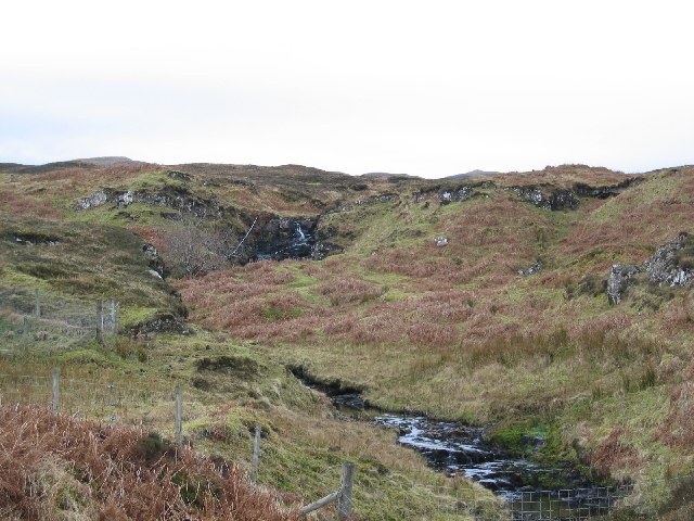
What is recorded here
Testing was carried out by Tim Coughlan of Irish Archaeological Consultancy Ltd under licence No. E2680 as part of an archaeological mitigation programme associated with the N6 Kilbeggan to Athlone dual carriageway. The site was identified during testing undertaken by Tim Coughlan of IAC Ltd in July 2005 (A016/029). The site was excavated in April 2006. An excavation area measuring 20m by 15m and 30m by 30m was opened. The site consisted of the remains of a fulacht fiadh/large burnt mound which sealed two probable troughs and connecting channel. The first trough was subrectangular in plan and was 2.5m long, 1.8m wide and 0.38m deep. The second trough was sub-oval in plan and 3.6m long, 2.8m wide and 0.4m deep. These troughs were all interlinked so that water would flow from the primary subrectangular trough into the oval trough. A total of 23 stake-holes were recorded evenly spaced around the perimeter of the base of the second trough, suggesting that it may have functioned as a ‘sweat-house’. A lithic find from archaeological investigations at Burrow/Glenanummer is an Early Bronze Age blade portion. Two bone pendants and a corroded iron object were also recovered from the site (Bennett 2010, 571).
Compiled by Caimin O'Brien
Date of upload/revision : 09 November 2011
The monument record does not grant public access. Check the route and ask the landowner before entering private land.
- What survives
- Recorded monument
Places near here
 Fulacht fia in Burrow OR GlennanummerFulacht fia · 360 yd
 Partially hachuredBawn · 940 yd
 Faheeran Castle (ruins)Castle · 960 yd
 Tully HouseRuins · 1024 yd
 Fulacht fia in KilcurleyFulacht fia · 1364 yd
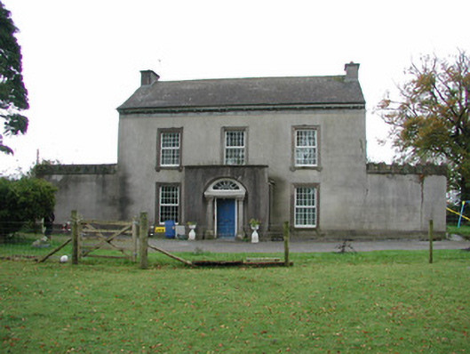 Springfield Househouse · 1385 yd
 Roughan HillMountain / peak · 2.2 mi
 ToberaskeenSpring · 2.3 mi
 Kilmalady HillMountain / peak · 2.5 mi
 Charles BianconiMemorial · 3.2 mi
 The Bob Traynor GalleryGallery · 3.3 mi
 Chapel HillForest · 3.6 mi
Other information
Photo: Credit not shown in the picture search · Rights wording not checked; contact us if this picture should be removed