
What is recorded here
Situated close to the shoreline in a level field under pasture. In 1988 it was evident as a spread of burnt stone with charcoal and black soil (max. dims. 13m N-S; 12m E-W). Geophysical survey (Licence no. 06R050) of Bremore headland did not identify this site.
Compiled by: Geraldine Stout
Updated by: Christine Baker
Date of upload: 16 April 2015
The monument record does not grant public access. Check the route and ask the landowner before entering private land.
- What survives
- Recorded monument
Places near here
 Passage tomb in BremorePassage tomb · 100 yd
 Settlement cluster in BremoreSettlement cluster · 109 yd
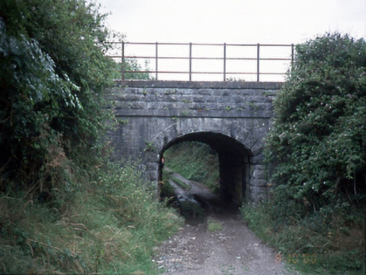 bridgebridge · 1210 yd
 QuarryQuarry · 1378 yd
 CastleHouse, fortified house · 1509 yd
 Bremore CastleCastle · 1518 yd
 Balbriggan Tourist OfficeVisitor information · 1.5 mi
 European YewEuropean Yew · 1.9 mi
 Clonard SpringSpring · 2.0 mi
 SycamoreSycamore · 2.1 mi
 Ben HeadCliff · 2.2 mi
 Balrothery Heritage CentreMuseum · 3.0 mi
Other information
Photo: Credit not shown in the picture search · Rights wording not checked; contact us if this picture should be removed