What is recorded here
Half a metre deep and no wider than a man’s outstretched arms, the trough in Boyerstown still holds the shape of heat. Water boiled in that stone box while people watched the surface tremble, perhaps cooking food or cleaning cloth, perhaps marking a birthday or a loss. The charcoal flecks above it are the only witness left, a thin dark line in grey clay where fire and water met and then stopped.
In Area 2 A layer of light grey – brown sandy clay with moderate charcoal flecks overlay a small spread of broken and burnt stone (dims 4.1m x 2.4m; T 0.15m) which covered a subrectangular trough (dims 1.55m x 1.44m; D 0.28m) and a circular pit (diam. 0.85m; D 0.27m), both with flat bases but only the trough had a burnt stone element in its fill. No stratigraphic relationships can be established with the medieval material in the vicinity and no radiocarbon date is available. (Martin 2009, 40-1)
See the attached site plan from Martin (2009, fig. 10)
Compiled by: Michael Moore
Date of upload: 12 April, 2023
Fairburn, N. 2004 M3 Clonee-North of Kells. Contract 3 – Navan Bypass. Report on Archaeological Assessment at Testing Area 7, Boyerstown, County Meath. Licence: 04E0580. Unpublished report, Archaeological Consultancy Services
Martin, K. 2009 M3 Clonee-North of Kells. Contract 3 – Navan Bypass. Report on the Archaeological Excavation of Boyerstown 1, Co. Meath. Licence: E003105. Final Unpublished report, Archaeological Consultancy Services
The monument record does not grant public access. Check the route and ask the landowner before entering private land.
- What survives
- Recorded monument
Places near here
 Enclosure in BoyerstownEnclosure · 485 yd
 Field boundary in ArdbraccanField boundary · 1029 yd
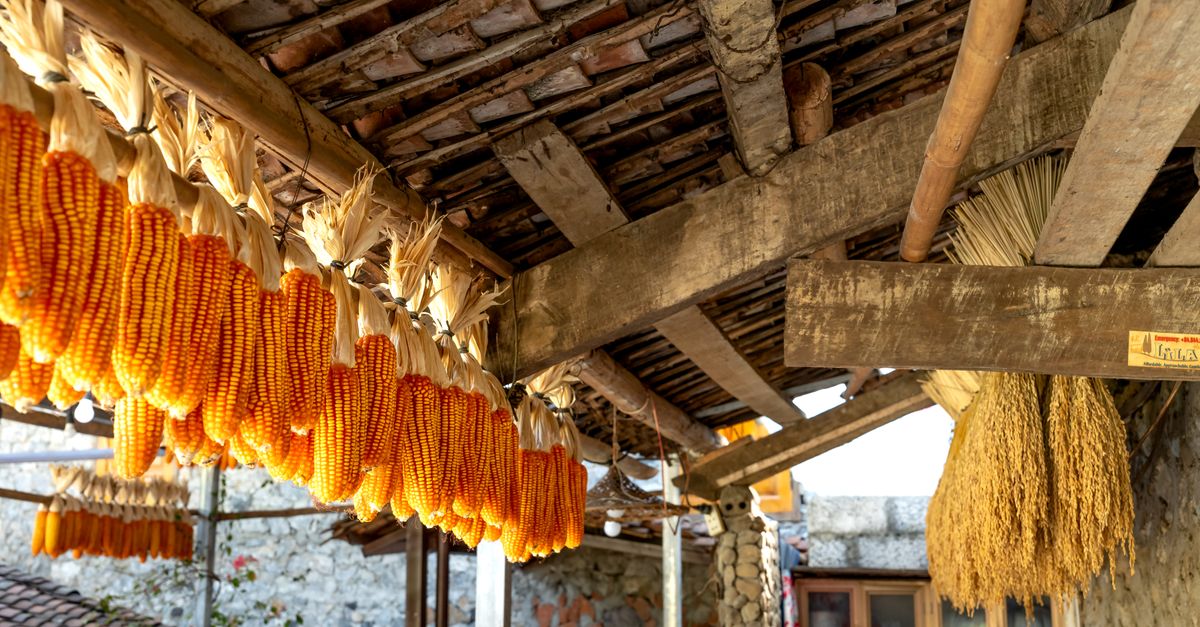 KilnKiln, corn-drying · 1612 yd
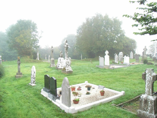 Church (in Ruins)Church · 1.4 mi
 BohermeenMountain / peak · 1.8 mi
 DurhamstownMountain / peak · 1.8 mi
 The New Line RoadMemorial · 2.0 mi
 Nangle CourtMemorial · 2.7 mi
 Wych ElmWych Elm · 3.1 mi
 Fox CovertWood · 3.5 mi
 Assey CastleCastle, tower house · 3.6 mi
 Donaghmore Round TowerHeritage attraction · 3.9 mi