What is recorded here
The following description is derived from the published 'Archaeological Inventory of County Carlow' (Dublin: Stationery Office, 1993). In certain instances the entries have been revised and updated in the light of recent research.
Date of upload/revision: 17 July 2007
Area of burnt stone and soil reportedly uncovered during reclamation work (diam. c. 35m).
The monument record does not grant public access. Check the route and ask the landowner before entering private land.
- What survives
- Recorded monument
Places near here
 Hybrid Black PoplarHybrid Black Poplar · 290 yd
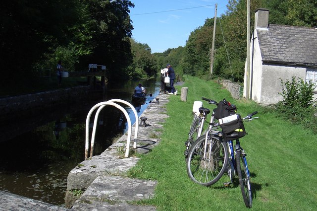 Borris Locklock · 397 yd
 Sweet ChestnutSweet Chestnut · 754 yd
 Bunnahown Bridgebridge · 1006 yd
 IndicatedEnclosure · 1017 yd
 St. Fiachras WellHoly well · 1347 yd
 Drumroe Castle (ruins)Castle · 2.2 mi
 The Barrow WayVisitor information · 2.4 mi
 Castle (in ruins)Castle, tower house · 2.4 mi
 Kilcullaun Church (in ruins), GraveyardChurch · 2.7 mi
 The PoundMemorial · 3.5 mi
 Keating's WellSpring · 3.5 mi