What is recorded here
Excavated in advance of construction of the N9/N10 Kilcullen-Waterford Road (Excavation Licence number E3837). Located on wet ground with a small stream c. 400m to the N. A small spread of burnt mound material was uncovered under which lay a trough (L 1.5m; Wth 1.2m; D 0.28m). (Phelan S. 2010, 19)
Reference:
Phelan S. (2010) 'AR135, Bannagagole Burnt-mound activity' in I. Bennett (ed.), Excavations 2007: summary accounts of archaeological excavations in Ireland, 19 (91). Bray. Wordwell
Compiled by: Claire Breen
Date of upload: 10 November 2010
The monument record does not grant public access. Check the route and ask the landowner before entering private land.
- What survives
- Recorded monument
Places near here
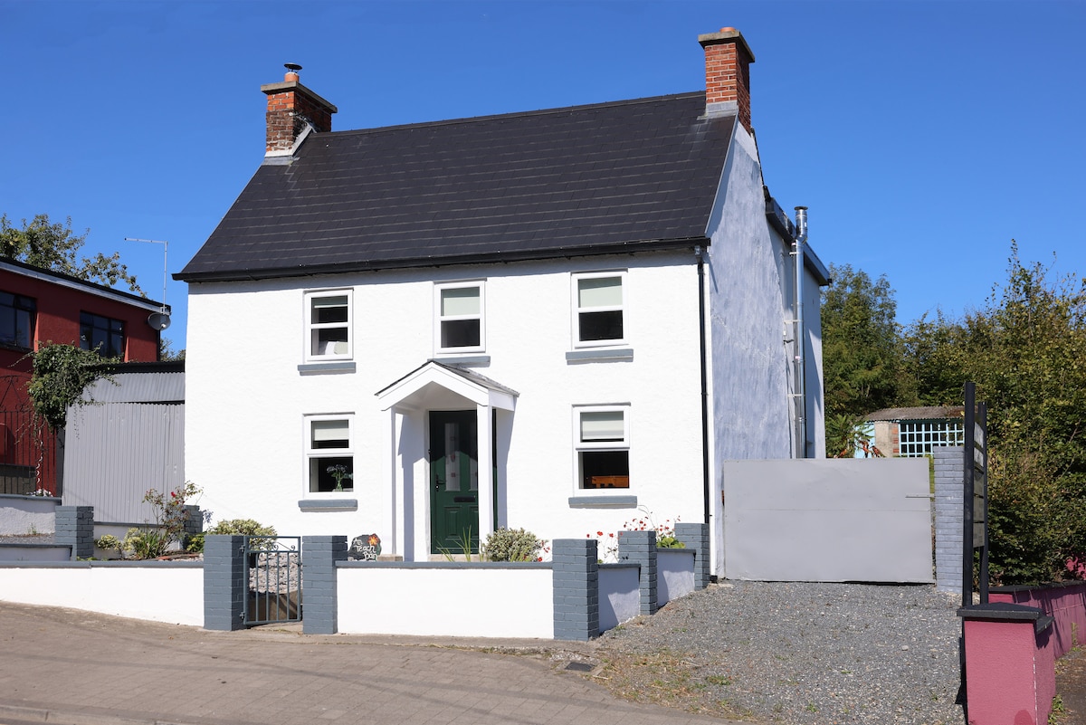 Enclosure in ClosuttonEnclosure · 818 yd
 Enclosure in FarranafreneyEnclosure · 1388 yd
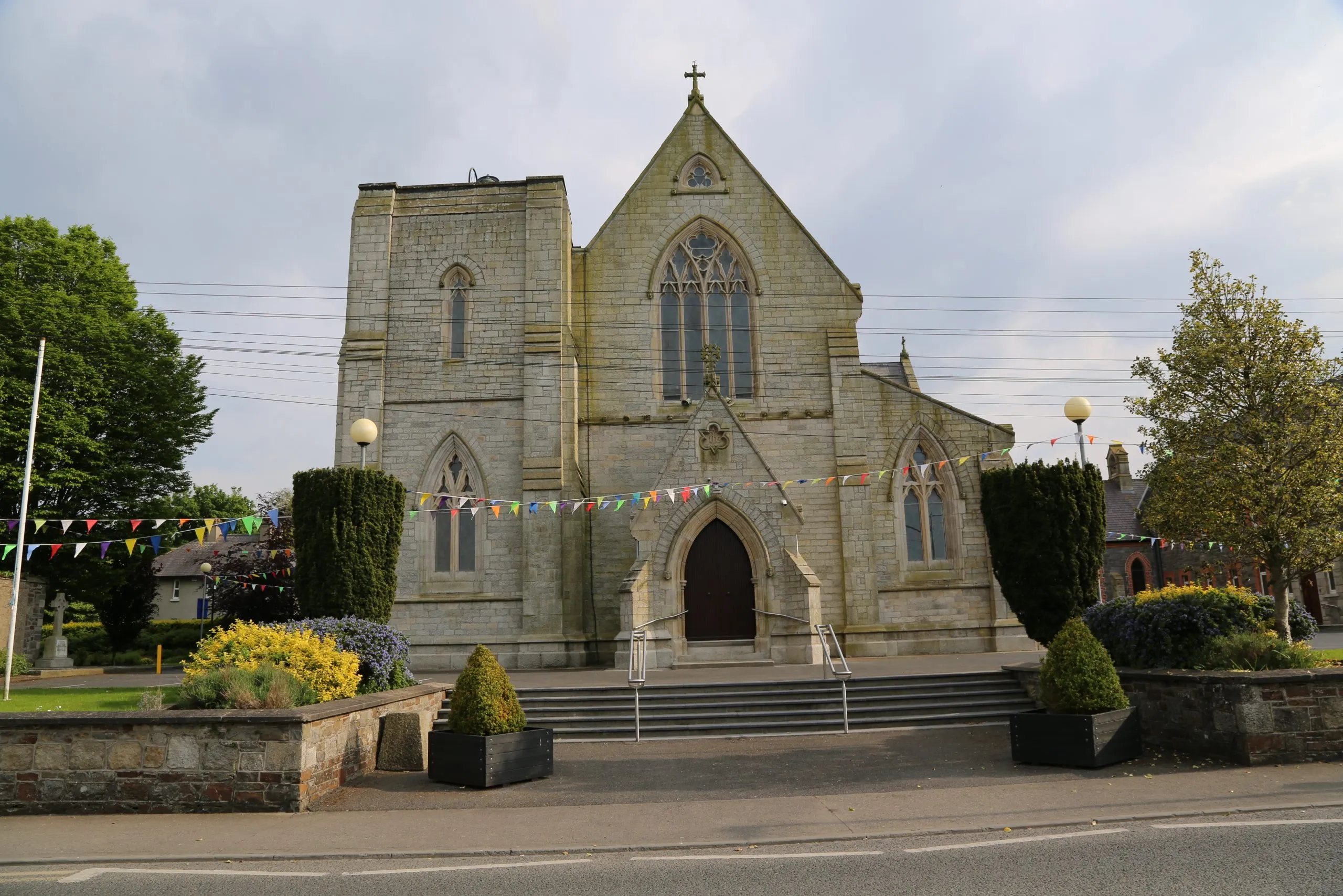 Killinane Church (in ruins)Church · 1.2 mi
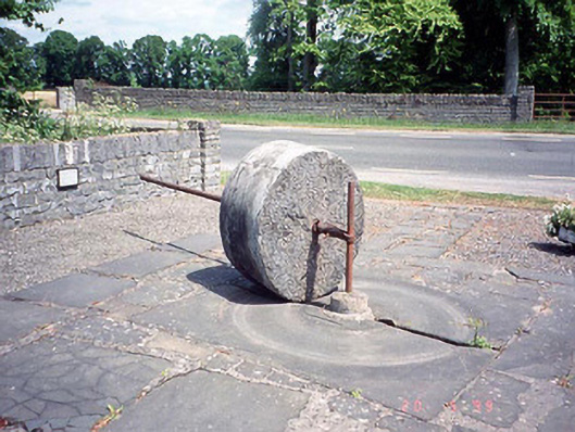 culm crusherculm crusher · 1.2 mi
 Church, GraveyardChurch · 1.7 mi
 Church (in ruins), GraveyardChurch · 1.7 mi
 Black Castle (in ruins)Castle, tower house · 1.9 mi
 Lock Keeper's House and Lodge MillsVisitor information · 2.1 mi
 The Green GardenWood · 2.3 mi
 The Columban WayVisitor information · 2.5 mi
 Sweet ChestnutSweet Chestnut · 3.0 mi
 Dunleckny Ho.Castle, unclassified · 3.1 mi