
What is recorded here
Located at the E edge of a basin with a spring just 5m to the E. This is a kidney-shaped mound of broken and burnt stones (dims. 20m N-S; 14m E-W; H 1m) open to the E. It remains unplanted in a coniferous forest.
Compiled by: Michael Moore. Date of upload: 24th March, 2011
The monument record does not grant public access. Check the route and ask the landowner before entering private land.
- What survives
- Recorded monument
Places near here
 Burnt mound in Ballykerin UpperBurnt mound · 209 yd
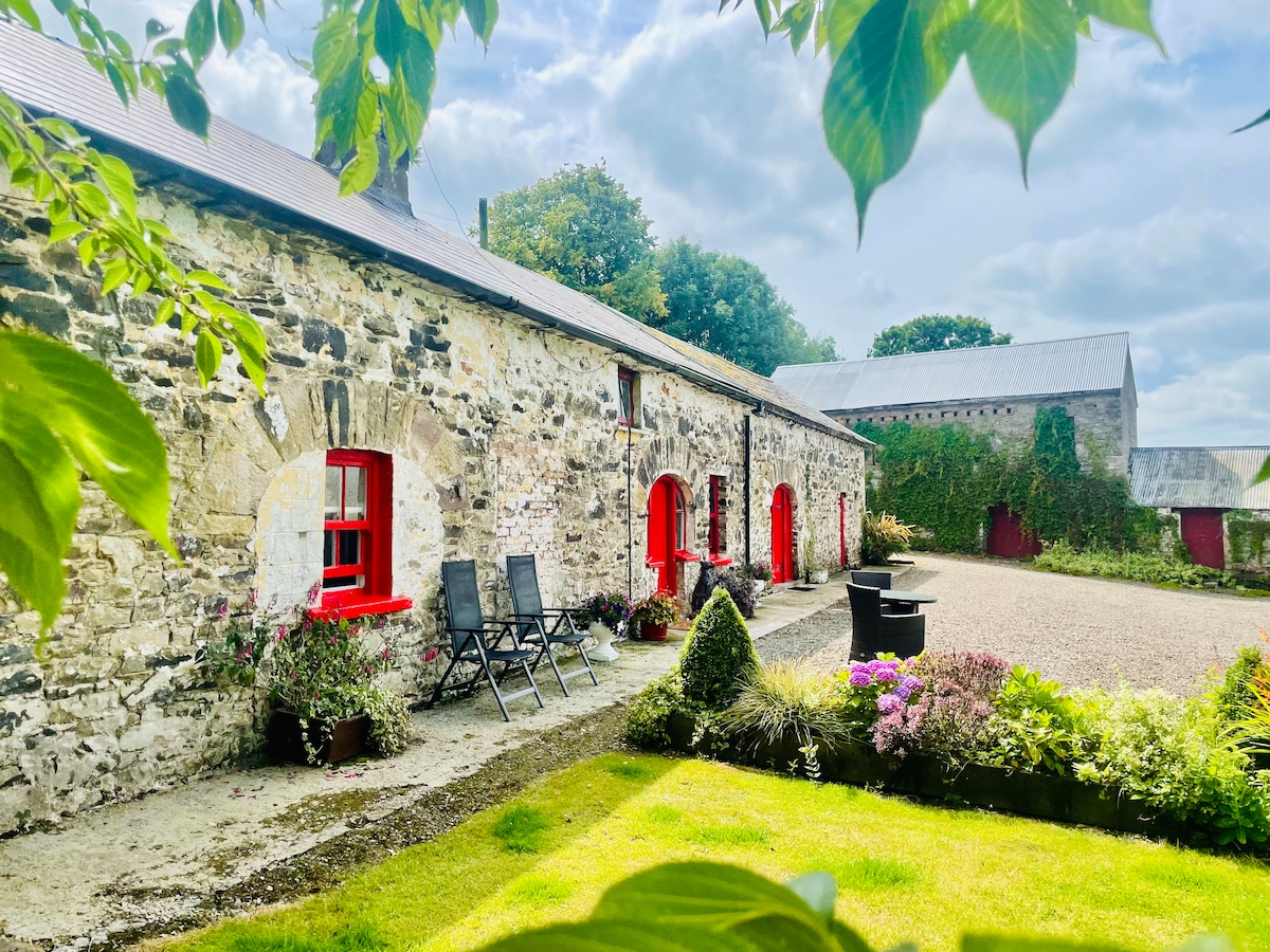 Embanked enclosureFairy fort / ringfort · 670 yd
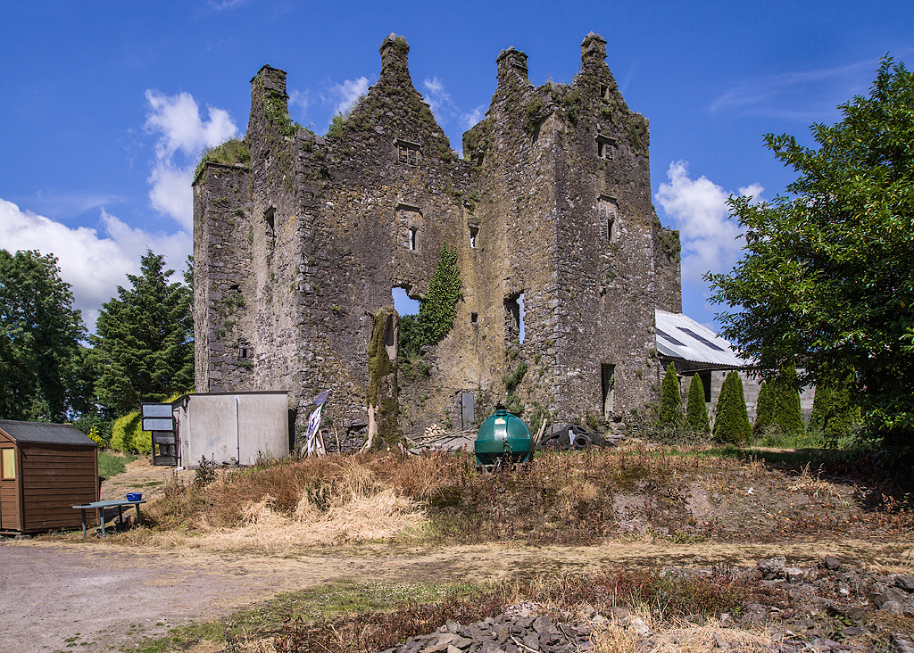 Sleady Castle (in ruins)House, 17th century · 1366 yd
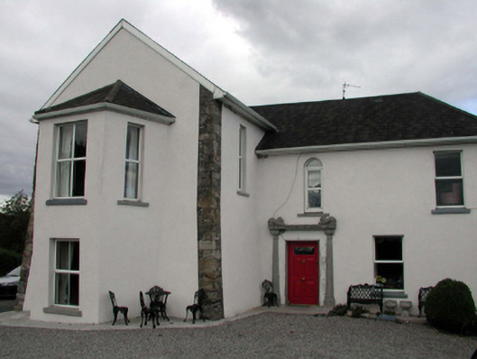 Mountain Castlehouse · 1.2 mi
 Black HillMountain / peak · 1.8 mi
 Master McGrathMemorial · 3.9 mi
 Kilgreany CaveCave · 4.0 mi
 IndicatedBawn · 4.6 mi
 Coillte infoboardVisitor information · 4.6 mi
 Glenshelane Red WalkWalking route · 4.6 mi
 Glenshelane WoodsForest · 4.7 mi
Other information
Photo: Credit not shown in the picture search · Rights wording not checked; contact us if this picture should be removed