What is recorded here
In 2003, this site on the route of the M7 Heath-Mayfield road scheme was archaeologically excavated (Licence No. 03E0571 www.excavations.ie Accessed 28 August 2012). A low mound (c. 10m N-S; c. 7m E-W; H 0.3m) covered a sub-rectangular trough (2m E-W; Wth at ends 0.6m; Wth at centre 1m; D 0.6m) containing an upper layer of burnt stone and charcoal-rich silt, similar to the mound material, and a lower layer of dense silt with a small amount of broken stone. Several groups of stake-holes (av. diam. 0.05m; D 0.06-0.18m) around the W end of the trough indicated the presence of a light structure in this area. Another group of similar stake-holes was found immediately E of the trough and to the E of these a second, subcircular trough was uncovered (diams. 2.8m; 1.8m; D 0.6m) containing a very different fill to that of the first trough, comprised principally of a blue/grey clay with some burnt stone.
Compiled by: Gearóid Conroy
Date of upload: 29 August 2012
The monument record does not grant public access. Check the route and ask the landowner before entering private land.
- What survives
- Recorded monument
Places near here
 Moore Abbey WoodWood · 797 yd
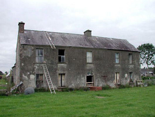 Clonegath Housefarm house · 1309 yd
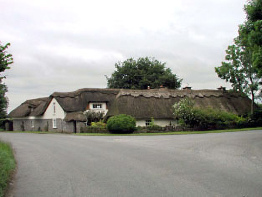 The Thatched Cottagehouse · 1682 yd
 European YewEuropean Yew · 1.0 mi
 IndicatedHoly well · 1.1 mi
 Font in Mooreabbey DemesneFont · 1.3 mi
 Bawn in Lackagh BegBawn · 3.4 mi
 OutlinedCastle, unclassified · 4.1 mi
 Bithia Mary CrokerMemorial · 7.0 mi
 Bog Lake WalkWalking route · 7.0 mi
 Derryounce Walk (Yellow Loop)Walking route · 7.3 mi
 SugarloafMountain / peak · 21 mi