What is recorded here
A mound (5.8m x 2.2m) of burnt material was excavated in 2002 prior to the construction of a housing estate (Kiely 2004c, 218). The mound overlay a rectangular partially stone-lined trough (2.5m x 1.8m; D 0.55m) and 0.3m E of the trough was a stone-lined hearth (ibid.). A calibrated radiocarbon date from the Middle Bronze Age (1490-1200 BC) was obtained from charcoal from the hearth (ibid.).
Compiled by: Elizabeth Byrne, Ursula Egan and Sheila Ronan, Archaeological Survey Unit, University College, Cork.
Date of upload: 31 January 2011
The monument record does not grant public access. Check the route and ask the landowner before entering private land.
- What survives
- Recorded monument
Places near here
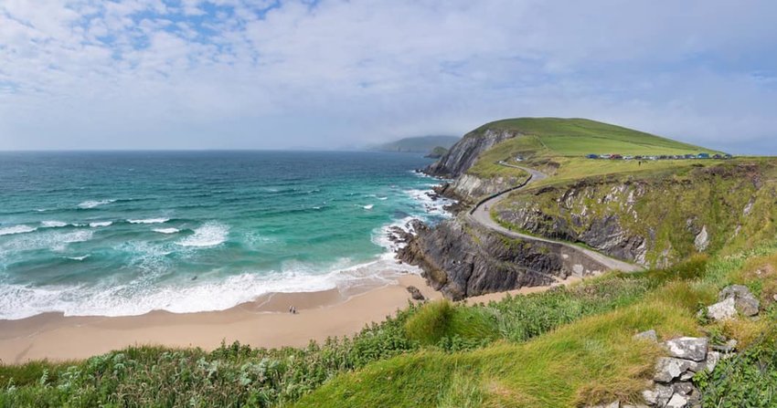 Fulacht fia in BallydownyFulacht fia · 55 yd
 Furnace in BallydownyFurnace · 240 yd
 Ballydowney BridgeBridge · 382 yd
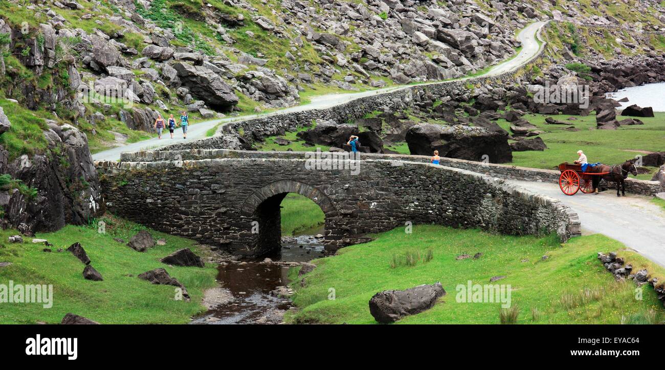 Deenagh BridgeBridge · 794 yd
 Famine MemorialMemorial · 968 yd
 Circular WalkWalking route · 1014 yd
 Giant SequoiaGiant Sequoia · 1289 yd
 GinkgoGinkgo · 1296 yd
 Cairn of PeaceMemorial · 1380 yd
 River WalkWalking route · 1.1 mi
 Jaunting ToursHeritage attraction · 1.2 mi
 Aghadoe Early Medieval Ecclesiastical SiteHeritage attraction · 1.3 mi