
What is recorded here
Situated on a terrace on a N-facing slope. A spread of broken and burnt stone was identified in testing (19E0448) an extensive area (excavations.ie 2019: 290) (McLoughlin (2019), and was completely excavated later under the same licence (Gregory 2020). The layer of broken and burnt stone (dims 13.5m N-S; 6.5m E-W) overlay a subrectangular trough (dims 1.88m WNW-ESE; 1.12m NNE-SSW; D 0.4m) filled with a charcoal-rich silt with heat-shattered stones which slightly cut the W edge of a circular depression (diam. 1.42m x 1.39m; D 0.11m) that had a fire-reddened base and can be interpreted as a hearth. There were three lines of stake-holes extending N (L 0.7m) or NE (L 2.14m: 3.43m) from the circular hollow. Amongst the charcoal samples alder was the dominant species, followed by blackthorn and oak (Excavations.ie 2020: 198). (Gregory 2020)
Compiled by: Michael Moore
Date of upload: 18 November 2020
The monument record does not grant public access. Check the route and ask the landowner before entering private land.
- What survives
- Recorded monument
Places near here
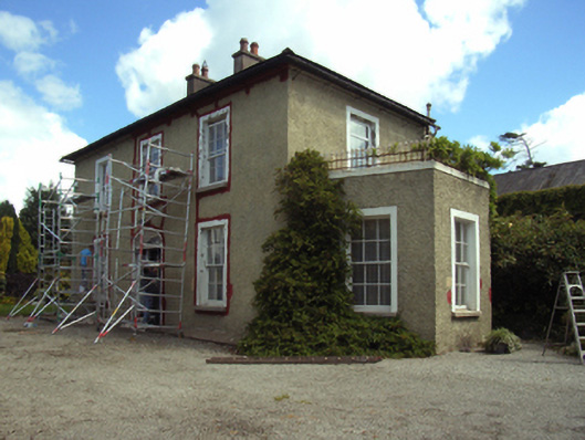 Slaneyhill Housefarm house · 388 yd
 Brookvillehouse · 530 yd
 St. Nicholas WellHoly well · 680 yd
 Fulacht fia in CarricklawnFulacht fia · 867 yd
 Ferrycarrig AmbushMemorial · 940 yd
 Ferrycarrig Tower HouseArchaeological place · 1210 yd
 Passage TowerCastle, tower house · 1230 yd
 Portal TombHeritage attraction · 1233 yd
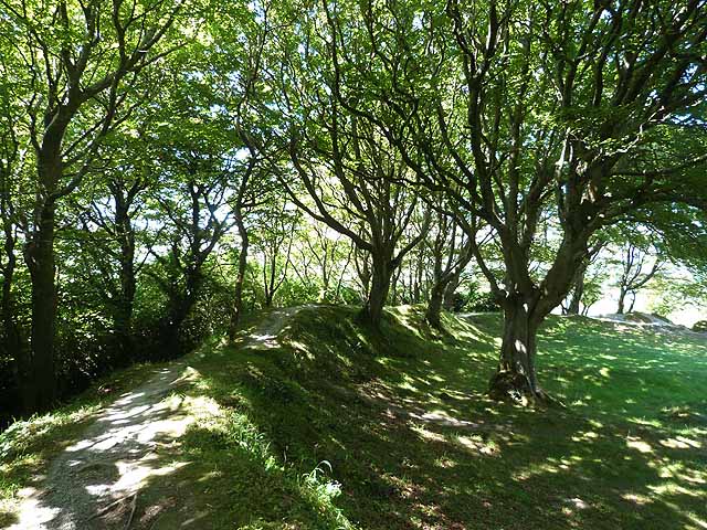 Ring FortHeritage attraction · 1235 yd
 Dawn RedwoodDawn Redwood · 1.3 mi
 16th Irish DivisionMemorial · 1.5 mi
 Siege of Wexfordsiege · 1.9 mi
Other information
Photo: Credit not shown in the picture search · Rights wording not checked; contact us if this picture should be removed