What is recorded here
In reclaimed pasture, on E side of stream. According to local information spread of burnt material visible in ploughed field; now under long grass for silage. Walsh (1985, 68, 132, no. 140) says levelled during drainage c. 1982; 'levelled mound' remains. Three fulachta fiadh (CO085-099---; CO085-100---; CO085-101---) further upstream to SE.
The above description is derived from the published 'Archaeological Inventory of County Cork. Volume 2: East and South Cork' (Dublin: Stationery Office, 1994). In certain instances the entries have been revised and updated in the light of recent research.
Date of upload/revision: 14 January 2009
The monument record does not grant public access. Check the route and ask the landowner before entering private land.
- What survives
- Recorded monument
Places near here
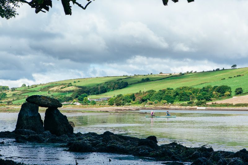 Fulacht FianFulacht fia · 471 yd
 The Blind BridgeBridge · 779 yd
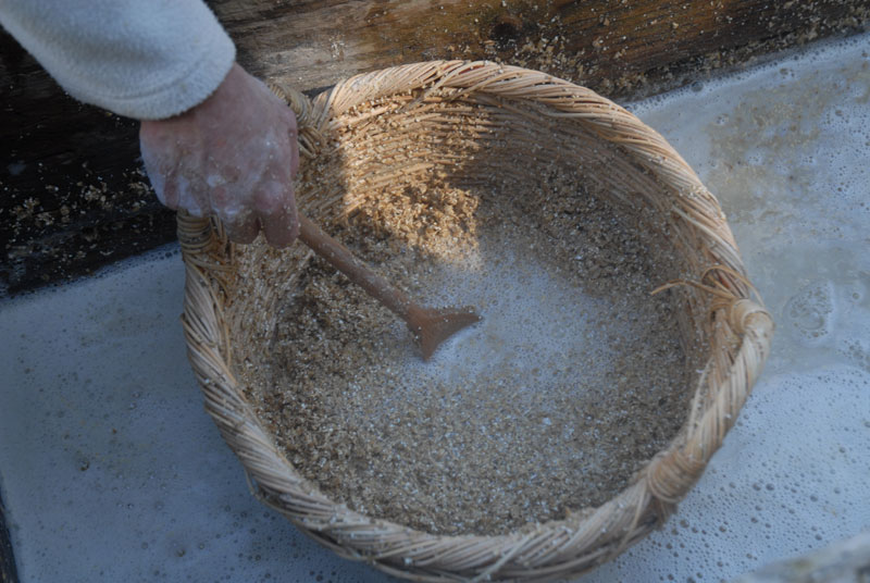 Fulacht FiadhFulacht fia · 798 yd
 sign postsign post · 1117 yd
 waterfallVisitor information · 1238 yd
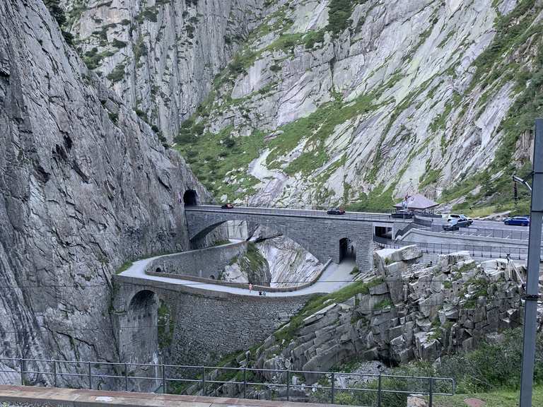 Monument WaterfallMonument · 1246 yd
 Graveyard in BallynoraGraveyard · 1439 yd
 Corbally Montessori & Early Years' Pre-schoolVisitor information · 1683 yd
 Rumley's Open FarmHeritage attraction · 1.1 mi
 Caslte (Site of)Castle, unclassified · 1.4 mi
 Sunday WellSpring · 1.7 mi
 Ballyburden Castle (Site of)Castle, unclassified · 2.3 mi