What is recorded here
In pasture 30m S of a stream and 45m W of a second watercourse. Enclosure (LI039-032----) lies 90m to W. Not depicted on OSi historic mapping. One of 6 features (LI039-172/174/ 175001/175002/176----) identified as (BGE 3/77/27-29) in 2002 by Ken Wiggins (Licence 02E0119) during topsoil-stripping on the Bord Gáis Éireann Pipeline to the West. Excavated in 2002 by Kate Taylor under licence No. 02E0470 the results of which were summarised as follows; ‘The fulacht fiadh spread was irregularly shaped, measuring 10m by 9m, and was less than 0.1m thick, with a fairly flat profile; it extended to the southern baulk and appeared to continue into the adjacent field. Two overlapping deposits were recorded, both containing fractured burnt stone and the upper including a component of charcoal. Two cut features were revealed below the spread: a concave scoop and a trough. The scoop measured 2.05m (north-west/south-east) by 0.74m and was 0.11m deep; it was filled with material identical to the upper spread deposit. The trough was subrectangular with steep sides and a flat base. It measured 1.56m by 1.16m and was 0.42m deep. It was not lined but was filled with a deposit rich in charcoal and burnt stones (Taylor 2004, 297)’. Monument has been fully excavated and is not visible on aerial images.
See attached plan of excavated spread.
Compiled by: Martin Fitzpatrick
Date of upload: 18 May 2021
The monument record does not grant public access. Check the route and ask the landowner before entering private land.
- What survives
- Recorded monument
Places near here
 Fulacht fia in BallingayrourFulacht fia · 338 yd
 Earthwork in BallingayrourEarthwork · 569 yd
 OutlinedBawn · 1587 yd
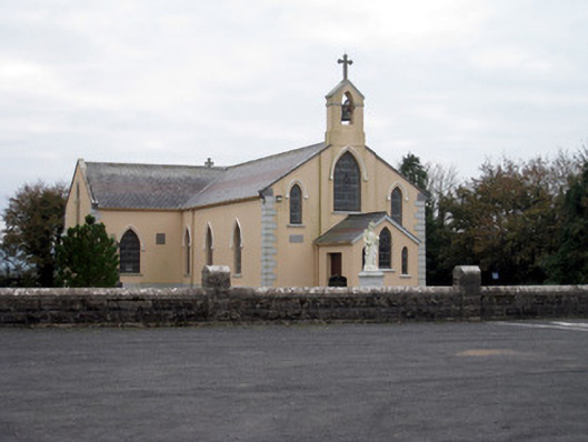 Catholic Church of the Holy Trinitychurch/chapel · 1.5 mi
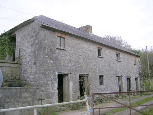 Camas Houseoutbuilding, bridge · 1.5 mi
 Bawn in Ballycullane (kilmallock By.)Bawn · 1.7 mi
 King John's CastleCastle · 4.2 mi
 Lough GurVisitor information · 4.3 mi
 Pedunculate OakPedunculate Oak · 5.2 mi
 Lough Gur Heritage CentreVisitor information · 5.4 mi
 The SpectaclesVisitor information · 5.4 mi
 European ashEuropean ash · 5.8 mi