What is recorded here
Half a metre of charcoal-rich soil and a few stake holes in Attyflin, dug in a hurry before the road took the land. That is all the trough gave up: no bone, no potsherd, no certainty whether it cooked food, cleaned hides or marked a boundary. Yet the stakes still suggest a wooden box built to hold water or heat, and the black soil suggests fire repeated often enough to stain the earth. A fulacht fiadh lives or dies on that much.
The site described as an isolated trough was excavated in 1999 by Mary Deevy under licence No. 99E0459 and her results were summarised as following; 'The site is in Attyflin townland, c. 9km south-west of Limerick City, east of the N20. The site was uncovered during archaeological monitoring of topsoil-stripping before road construction on the N20/N21 Adare to Annacotty road scheme. A rescue excavation was carried out over three-and-a-half weeks in August-September 1999. The site was close to marshy ground within which a fulacht fiadh (see No. 479 below) (LI021-183----) was excavated. Two phases of activity were identified. The earliest phase consisted of a subsoil-cut subcircular pit that may have been a trough. This pit measured 1.8m in maximum diameter and 0.3m in maximum depth. There was evidence for a wooden structure in the form of stake-holes in its base and surrounding its upper edges. It was filled with black, charcoal-rich soil with frequent fragments of degraded sandstone. There was also a series of shallow, irregular-shaped, subsoil-cut pits and depressions, all with an upper fill of black, charcoal-rich soil with frequent fragments of degraded sandstone. It is unclear, however, whether any of these were hearths, owing to the lack of evidence for in situ burning. No artefacts or animal bone were recovered from any of these features' (Deevy 2000, 157-8).
Coimpiled by: Martin Fitzpatrick
Date of upload: 26 June 2020
The monument record does not grant public access. Check the route and ask the landowner before entering private land.
- What survives
- Recorded monument
Places near here
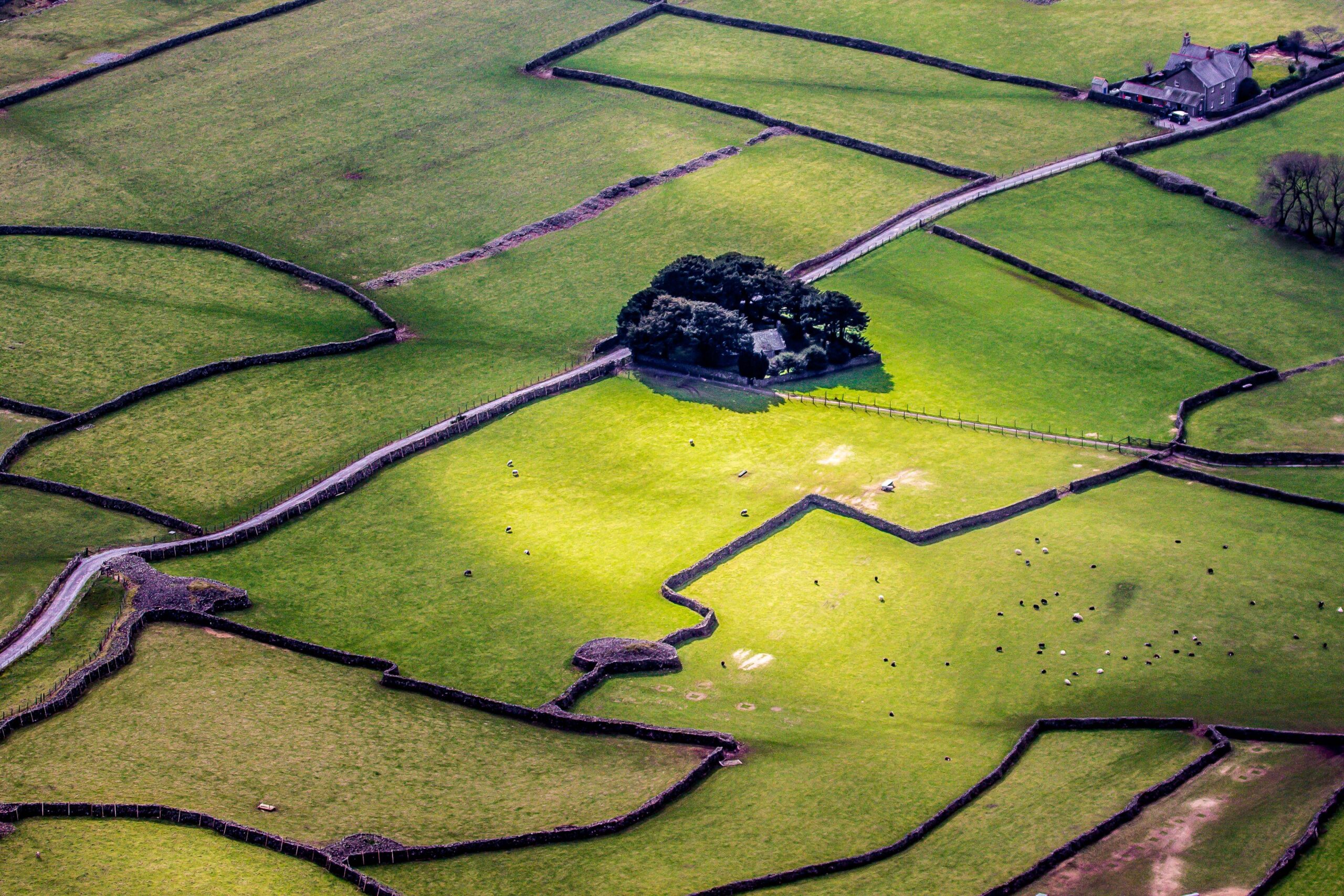 Designed landscape feature in AttyflinDesigned landscape feature · 62 yd
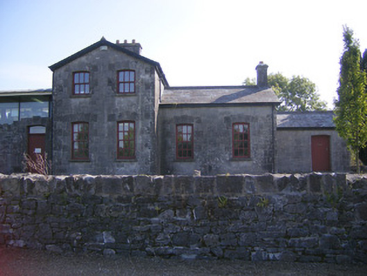 Patrickswell Railway Stationrailway station, signal box · 249 yd
 bridgebridge · 309 yd
 ExcavationExcavation, miscellaneous · 622 yd
 Ballinveala Castle (in ruins)Castle, tower house · 2.0 mi
 Castle FieldCastle, unclassified · 2.2 mi
 Dysert AenghusaHeritage attraction · 4.8 mi
 Monasteranenagh AbbeyHeritage attraction · 5.4 mi
 Kinnoor WellSpring · 6.1 mi
 Flat cemetery in Kiltenan SouthFlat cemetery · 6.5 mi
 Grass IslandIslet · 7.0 mi
 Maiden RockNamed rock · 7.2 mi