What is recorded here
Three thousand years ago on a marshy slope in Ardbraccan, people heated water in stone troughs until the rocks split and rained down the mound. They may have cooked food, cleaned wool, or prepared bodies for burial, while cherry wood smouldered beside the pits. The M3 motorway nearly erased the site, but excavation recovered the burnt stones and dated the heat to the Middle Bronze Age.
Situated on a slight S-facing slope and at the N edge of a marshy area. Archaeological testing (04E0584) by N. Fairburn (2004) at Testing Area 11 of Contract 3 of the M3 motorway identified archaeological material (excavations.ie 2004:1158) that was excavated (E003116) by M. Mossop (Mossop et al. 2009) as Ardbraccan 2 (excavations.ie 2006:1487) during May to July 2006 when a fulacht fia, a rath with internal hut-sites, and an external hearth and cereal drying kiln were recorded. Elements of four field systems were also present.
The burnt mound was on a slight rise, and consisted of two rectangular troughs (dims 1.76m plus x 0.8m; D 0.24m: dims 3.05m x 1.3m; D 0.44) with rounded corners and flat bases that had primary layers of silt below deposits of heat-shattered stone and charcoal. The smaller trough had been truncated by a later ditch and the larger returned a C14 date of 1601-1392 cal. BC (Beta 247119) from a sample of cherry, placing it in the Middle Bronze Age. The troughs were beneath a burnt mound (dims 7.4m x 6m; T 0.19m) with 50% burnt stone inclusions that also covered a rectangular pit (dims 2.94m x 1.2m; D 0.18m) and a circular pit (diam. 0.85m; D 0.17m), both with fills containing broken and burnt stone. Five other pits (dims 0.84-1.3m; D 0.07-0.31m) filled with brown/grey silty clays that had frequent burnt stone inclusions were in the vicinity of the mound but not covered by it, and a sample of hazel charcoal from one provided a C14 date of 1606-1411 cal. BC (Beta 247117). A possible hearth (dims 0.92m x 0.85m; D 0.15m) had burnt stone in its base and was 10m W of the mound. Two metalled areas (dims 5.4m E-W; 2.6m N-S; T 0.09m: dims 8.6m N-S; 4.4m E-W) comprised of small angular stones were SE and W of the mound respectively and consolidated the ground around the troughs and pits. (Mossop et al. 2009, 2-3)
See the attached interpretive site plan from Mossop eta al. (2009 fig. 1)
Compiled by: Michael Moore
Date of upload: 25 March 2022
The monument record does not grant public access. Check the route and ask the landowner before entering private land.
- What survives
- Recorded monument
Places near here
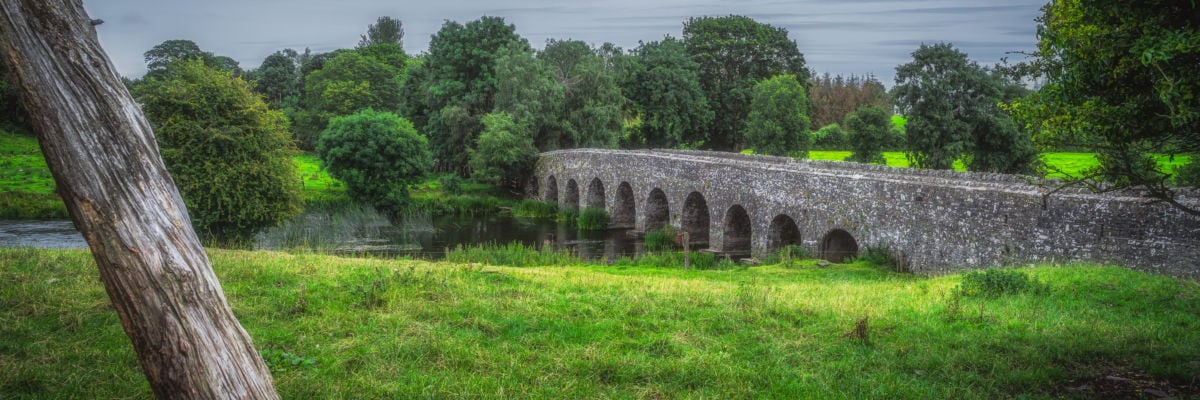 Hut site in ArdbraccanHut site · 15 yd
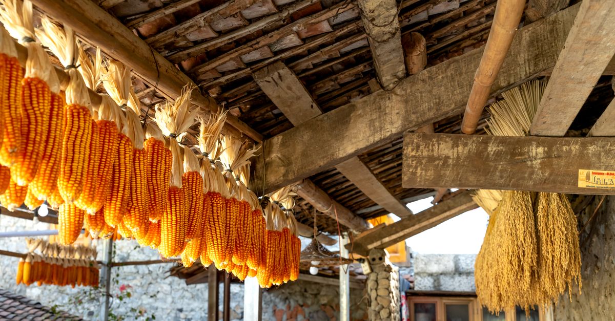 KilnKiln, corn-drying · 56 yd
 Fulacht fia in ArdbraccanFulacht fia · 122 yd
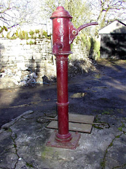 water pumpwater pump · 1179 yd
 DurhamstownMountain / peak · 1590 yd
 BohermeenMountain / peak · 1.0 mi
 The New Line RoadMemorial · 1.3 mi
 Liscartan CastleCastle, tower house · 1.7 mi
 Rathaldron Ho.Castle, tower house · 1.8 mi
 Nangle CourtMemorial · 2.5 mi
 Donaghmore Round TowerHeritage attraction · 3.9 mi
 Blackcastle DemesneWood · 3.9 mi