What is recorded here
Four thousand years before the motorway, people heated water in Ardbraccan by throwing stones into fire, then pouring the rage into troughs. The heat cracked the stones, building a mound that marked the site for millennia. They likely cooked food, cleaned cloth or prepared baths, turning ordinary water into useful force. The road builders removed the mound in 2006, but the broken stone and charcoal preserved the sudden violence behind a familiar household act.
Situated on a slight N-facing slope. Archaeological centre-line testing (04E0584) by N. Fairburn at Testing Area 11 of Contract 3 in advance of the M3 motorway identified burnt mound material (excavations.ie 2004:1158) at two places that were designated Ardbraccan 1A and 1B and were fully resolved (E003115) by M. Mossop (2008) over three weeks in August 2006 (excavations.ie 2006:1486). In Area 1A (dims 40m E-W; 37m N-) two fulachta fia and a large cistern or well were recorded.
This presented as a spread of burnt and broken stone (dims 7.3m x 5.3m; T 0.3m) that overlay a stone-based hearth (diam. 0.8m; T 0.11m) from which a sample of ash charcoal provided a C14 date of 2461-2205 cal. BC (BETA 247115). It overlay an oval trough (dims 1.75m x 1.2m; D 0.36m) with a fill of mostly fire-cracked stone that was immediately N of the hearth and a small pit (diam. 1.1m; D 02m) was nearby. The trough of fulacht fia (ME025-085001-) is c. 4.5m to the N and the trough of this fulacht fia was at the N edge of a cistern (ME025-085003-) and a metalled path (L 14.7m; Wth 2m) extended N from it. (Mossop and Ruddle 200, 2-5)
Compiled by: Michael Moore
Date of upload: 11 April, 2023
Fairburn, N. 2004 M3 Clonee-North of Kells. Contract 3 – Navan Bypass. Report on Archaeological Assessment at Testing Area 11, Ardbraccan, County Meath. Licence: 04E0584. Unpublished report, Archaeological Consultancy Services
Mossop, M. and E. Ruddle 2009 M3 Clonee-North of Kells. Contract 3 – Navan Bypass. Report on the Archaeological Excavation of Ardbraccan 1, Co. Meath. Licence: E003115. Final Unpublished report, Archaeological Consultancy Services
The monument record does not grant public access. Check the route and ask the landowner before entering private land.
- What survives
- Recorded monument
Places near here
 Field boundary in ArdbraccanField boundary · 201 yd
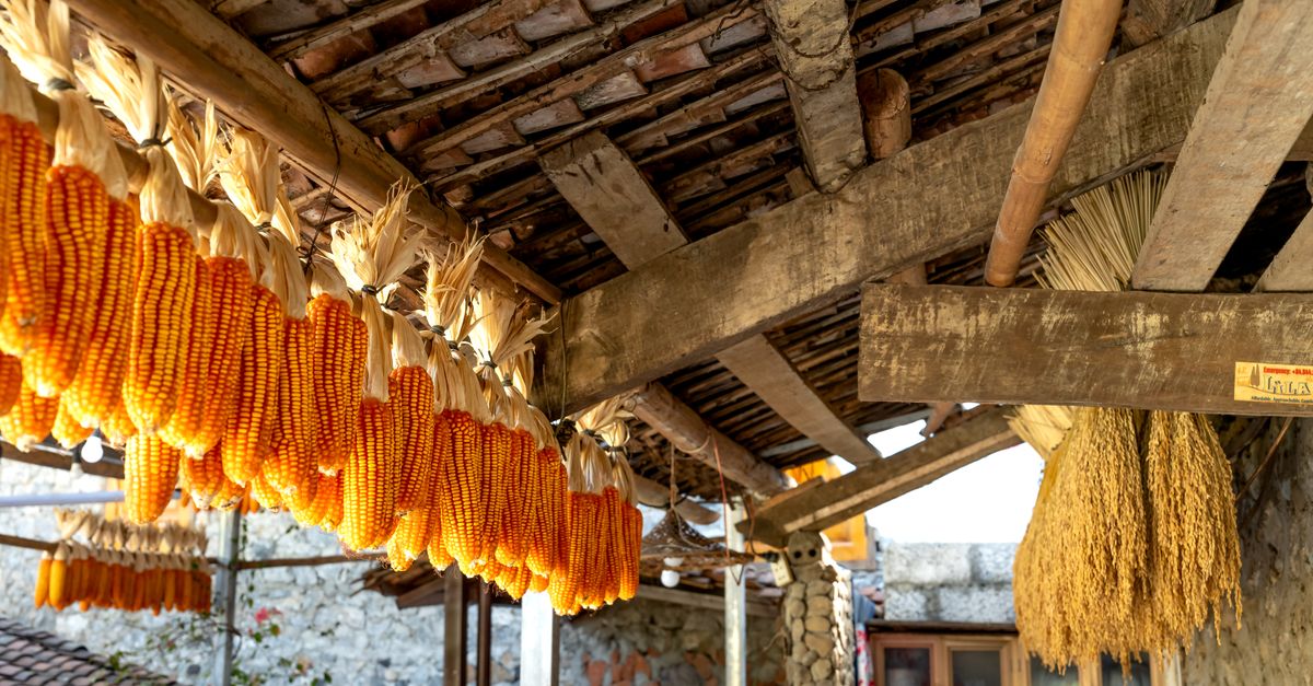 KilnKiln, corn-drying · 383 yd
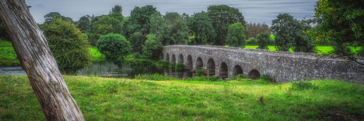 Hut site in ArdbraccanHut site · 424 yd
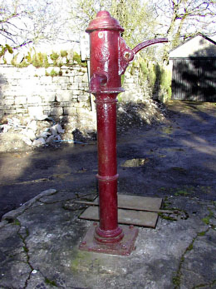 water pumpwater pump · 1578 yd
 DurhamstownMountain / peak · 1.1 mi
 BohermeenMountain / peak · 1.2 mi
 The New Line RoadMemorial · 1.5 mi
 Liscartan CastleCastle, tower house · 1.8 mi
 Rathaldron Ho.Castle, tower house · 1.9 mi
 Nangle CourtMemorial · 2.6 mi
 Wych ElmWych Elm · 3.8 mi
 Donaghmore Round TowerHeritage attraction · 3.9 mi