
What is recorded here
Half a football pitch wide, fprt is a grassy ring cut by a shallow ditch and a low earthen scar, bisected today by a field fence that divides the ancient circle into a farmyard and a ghost. It sits on a small knoll in County Leitrim, watching a hollow to the southwest and the rising slope of the Tullyskeherny plateau to the northeast. Cattle may still walk the same path people once walked, turning a fairy fort into an ordinary place while the shape beneath remains unchanged.
Situated in reclaimed pasture on a small knoll overlooking a col to the SW with a drumlin rising beyond it and with the rising slope of the Tullyskeherny plateau to the NE. This is a grass-covered circular area (diam. 39m NE-SW) defined by a flat-bottomed fosse (Wth of base 2.5m; D 0.6m) N-NE, and by a scarp (H 0.4-1m) S-W-N. The monument is bisected by a N-S field fence, and used as a farmyard E of this feature.
The above description is derived from 'The Archaeological Inventory of County Leitrim' compiled by Michael J. Moore (Dublin: Stationery Office, 2003). In certain instances the entries have been revised and updated in the light of recent research.
Date of upload: 23 September 2008
The monument record does not grant public access. Check the route and ask the landowner before entering private land.
- What survives
- Recorded monument
Places near here
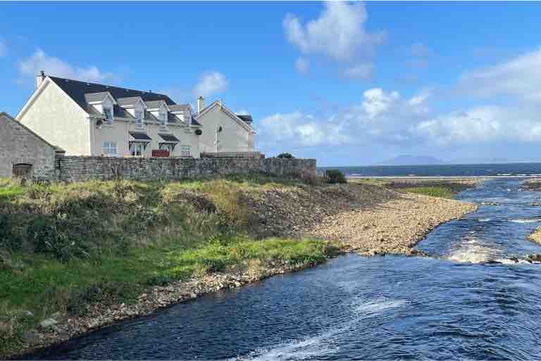 IndicatedEnclosure · 636 yd
 CashelFairy fort / stone ringfort · 789 yd
 kilnkiln · 1.3 mi
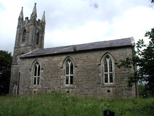 Killarga Churchchurch/chapel · 1.7 mi
 Green IslandIslet · 2.6 mi
 The Giants GraveArchaeological place · 2.9 mi
 BenboMountain / peak · 3.1 mi
 Giants RockNamed rock · 3.3 mi
 Old HallCastle, hall-house · 4.2 mi
 Ballaghnabehy TopMountain / peak · 4.9 mi
 Doonbran Isd.Bawn · 5.4 mi
 Parke's CastleHeritage attraction · 5.5 mi
Other information
Photo: Credit not shown in the picture search · Rights wording not checked; contact us if this picture should be removed