What is recorded here
No stone or ditch marks the river bank now, yet Lifford still turns on that meeting water. Hugh O'Donnell held the castle, English officers took it, and Hansard built houses around a strong lime-and-stone fort before the shape vanished. The town remembers less because it forgot than because rivers, armies and merchants kept redrawing the line between ownership and life.
Described in the Urban Survey of Donegal as 'Like most of Donegal's plantation towns Lifford owes its existence to its strategic location, at the meeting of the rivers Murne and Finn, and at the beginning of the River Foyle. There was no bridge and throughout the seventeenth century the river crossing was negotiated by ferry. Its strategic significance was evident before the plantation period, however, and it was here that the O'Donnells built a castle in the fifteenth century (this castle is located in Co. Tyrone). The earl of Essex arrived here in 1574 as part of his ill fated Ulster expedition and formally restored it to Hugh O'Donnell (Hayes McCoy 1976, 97). Ten years later, in 1584, Perrott proposed it for the site of an English garrison if Ulster was to be subdued. Perrott's proposals went unheeded, however, and it was not until 1600 when it was captured by Dowcra's forces, under the command of Niall garbh O'Donnell that it fell into English hands. By 1600 there was evidently some form of settlement in the vicinity of the fort. A contemporary account describes it as : "some eighty houses set in a plain green upon the river side and encompassed by an old ditch" (CSPI 1600-1, 93). Evidently the settlement was substantial enough by 1603 for Sir Henry Dowcra, governor of Lough Foyle, to be granted the right to hold a market there. Shortly after the flight of the earls Lifford was ear-marked for plantation and on 27 october 1611 the village of Liffer with the fort, "commonly called captain Brooke's Fort" and about 500 acres of land were granted to Sir Richard Hansard for 21 years. He received the grant on condition that within five years he should allot portions of land to 60 inhabitants for the erection of houses with gardens and 200 acres for a common (Ir Rec Comm 1830, 182). The fort was excluded from a new grant of 31 jan 1612, when Hansard was given licence to hold a Monday market and two annual fairs, while the number of colonists he was to settle was halved to "30 persons, English or Scots, chiefly tradesmen to be the burgesses" (ibid. 206-7). Lewis (1837, ii, 260) adds that in addition he was to set aside 100 acres for the keep of 50 horses, should His Majesty think proper to assign a garrison to the town. Hansard evidently invested a sizeable amount of his personal income in the town. By 1611 he had built some twentyone half-timbered houses and thirtyseven cottages of one hearth each were constructed about the same time (Rowan 1979, 347). In the same year, 1611, Pynnar described Lifford as having : "a good and strong fort built of lime and stone, with bulwarks, a parapet, and a large ditch of good depth cast above it on the river side, with a storehouse for victuals and munition, a gatehouse and a drawbridge…..There is another small fort in the town rampiered and ditched, about which are certain houses built of good timber after the English manor, which serve for the use of a gaoler and to keep prisoner…Upon view of the town we found it well furnished with inhabitants of English, Scottish, and Irish, who live by several trades" (quoted in Butlin 1977, 89).' (Bradley & Dunne 1989, 50-2). Nothing remains of the "good strong fort of lime and stone" mentioned in 1611. A plan of "the king's fort at Lifford", prepared about this time is in the library of Trinity College Dublin (Ms. 1209 (30)). The 1611 account, quoted above, mentions a second fort in the town but is whereabouts remains unclear' (Bradley & Dunne 1989, 55)
The monument record does not grant public access. Check the route and ask the landowner before entering private land.
- What survives
- Recorded monument
Places near here
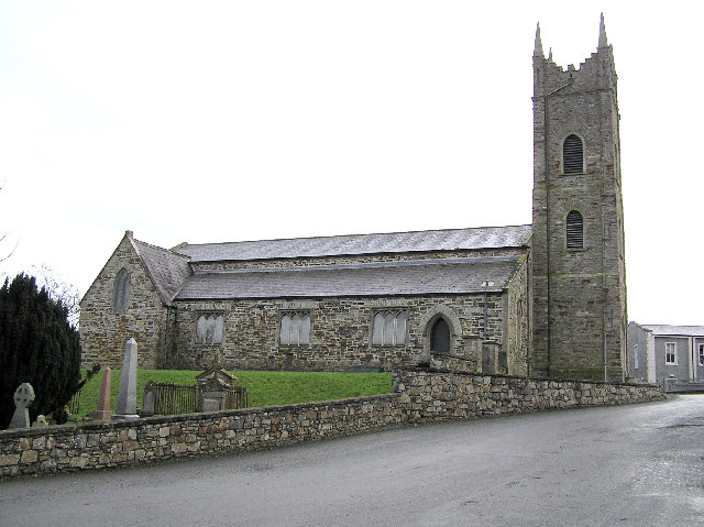 Clonleigh Parish Hallchurch hall/parish hall · 217 yd
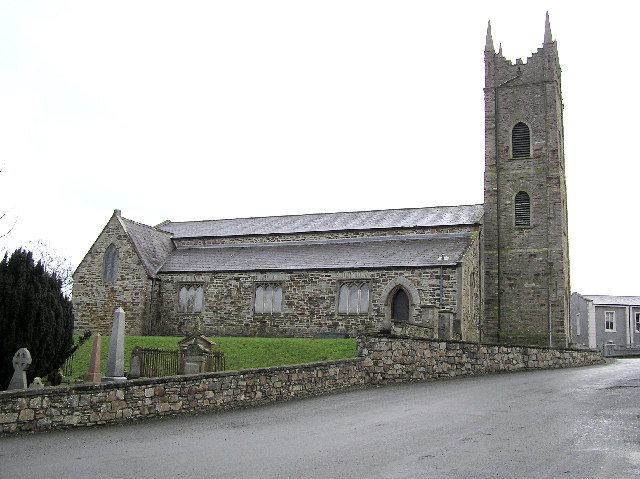 Church in LiffordChurch · 220 yd
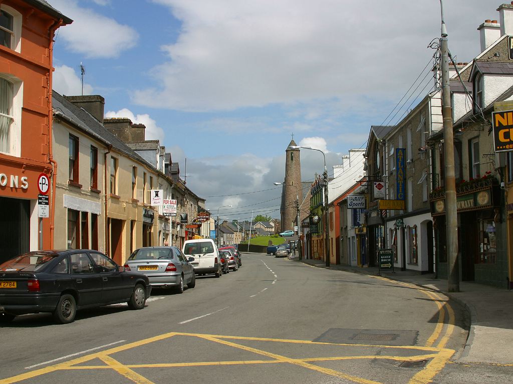 Town defences in LiffordTown defences · 318 yd
 BATTLE SITE: BATTLE OF THE FORDS, Central crossing, 1689 in Magirr; Town Parks OF StrabaneBATTLE SITE: BATTLE OF THE FORDS, Central crossing, 1689 · 486 yd
 Second World War MemorialMemorial · 1456 yd
 Abercorn FactoryHeritage attraction · 1464 yd
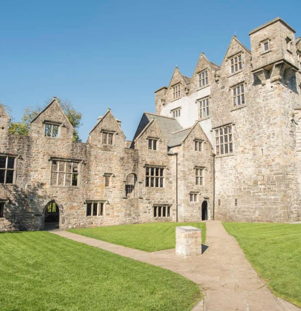 Ecclesiastical site in Edenmore (clonleigh North Ed)Ecclesiastical site · 1511 yd
 CASTLE in Town Parks OF StrabaneCASTLE · 1604 yd
 Gray PrinterHeritage attraction · 1731 yd
 1916 Easter Rising Memorial StoneMemorial · 1.0 mi
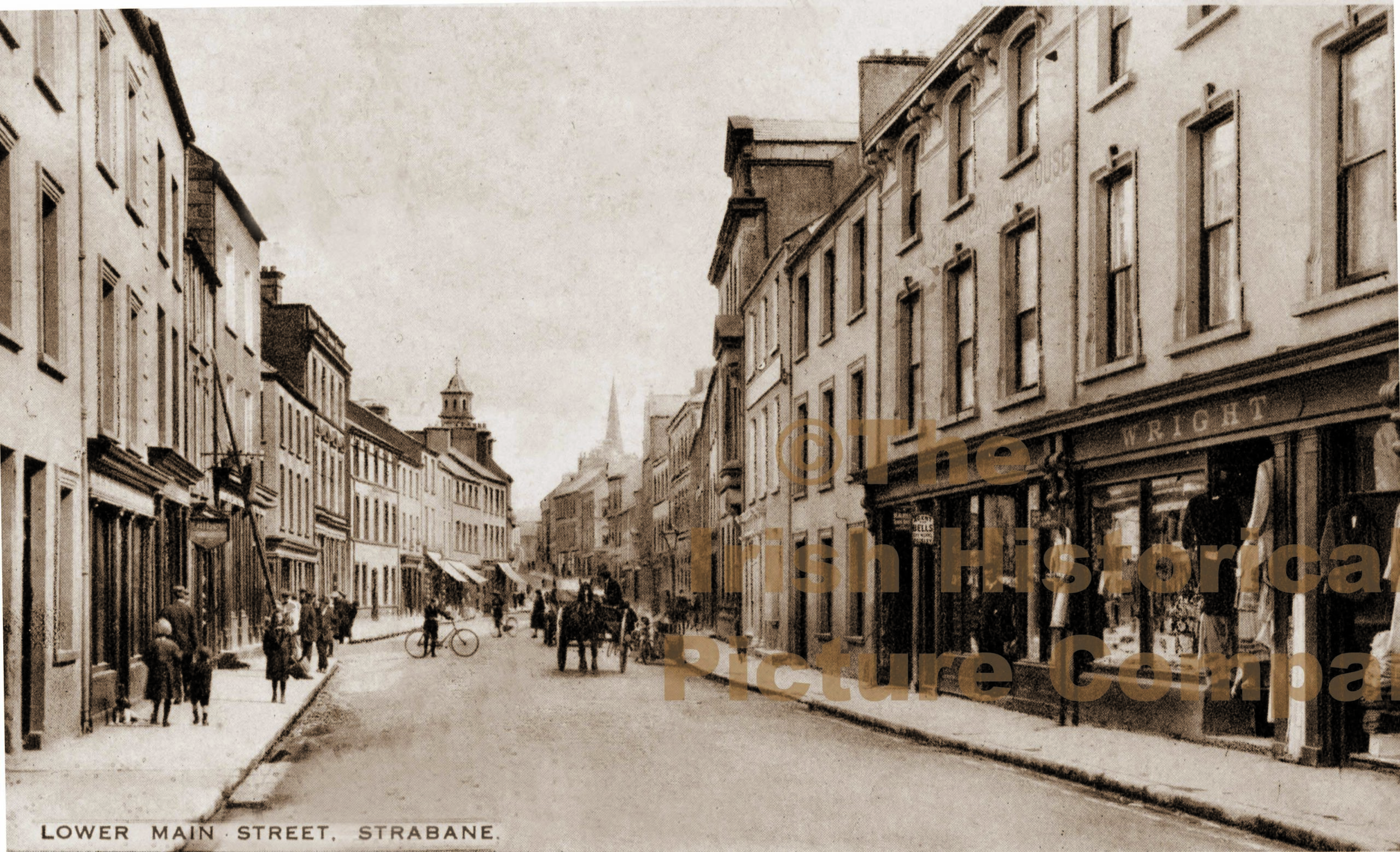 PLANTATION CASTLE (unlocated) in StrabanePLANTATION CASTLE (unlocated) · 1.1 mi
 Battle of Knockavoe BattlefieldBattlefield · 1.5 mi