
What is recorded here
Knocknafaugher stood as a single stone ring on a sheer Donegal cliff, yet no trace remains despite appearing on official maps. The topography still demands an enclosure even though grass and time erased the visible boundary. Whatever lived there was strong enough to shape the land but fleeting enough to vanish without a broken stone.
There is no sign of the single-ringed enclosure shown on the 2nd and 3rd editions of the OS 6-inch maps. It was situated on the edge of a sheer cliff overlooking the NE. Good grazing is available locally but the topography would suggest a stone enclosure.
The above description was derived from the 'Archaeological Survey of County Donegal. A description of the field antiquities of the County from the Mesolithic Period to the 17th century.' Compiled by: Brian Lacey with Eamon Cody, Claire Cotter, Judy Cuppage, Noel Dunne, Vincent Hurley, Celie O'Rahilly, Paul Walsh and Seán Ó Nualláin (Lifford: Donegal County Council, 1983). In certain instances the entries have been revised and updated.
Date of upload: 22 September 2008
The monument record does not grant public access. Check the route and ask the landowner before entering private land.
- What survives
- Recorded monument
Places near here
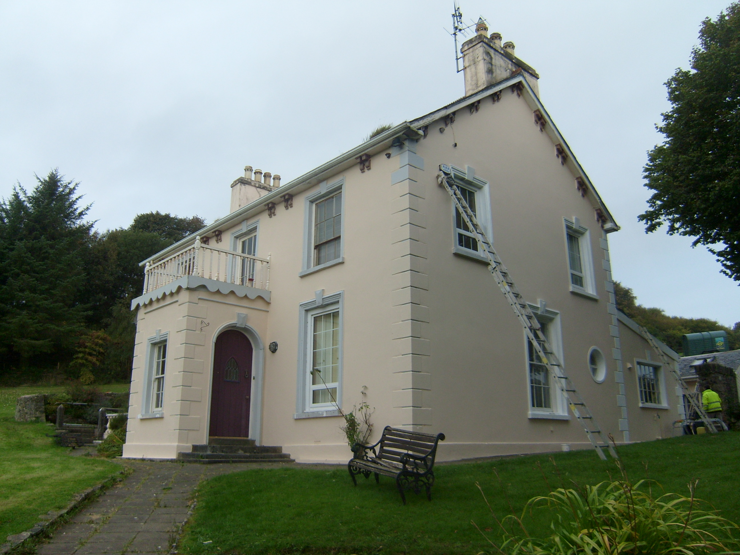 The Mansemanse · 721 yd
 Saint John's Church (Clondahorky)church/chapel · 908 yd
 Ballymore Lower Tomb near DunfanaghyMegalithic tomb · 928 yd
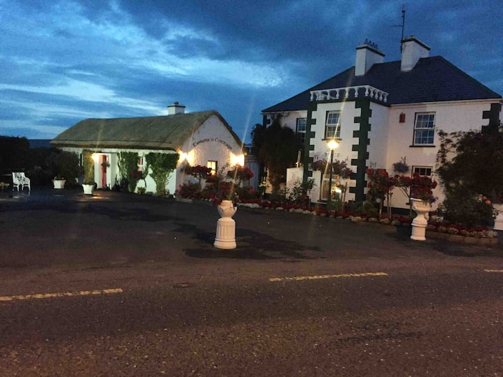 Dermot & Grania's BedArchaeological place · 940 yd
 The TunnelHeritage attraction · 996 yd
 Mc Swynes CastleCastle, unclassified · 1611 yd
 Ards Forest ParkForest recreation place · 1665 yd
 Kill Old Church GraveyardGraveyard · 1.6 mi
 KillahoeyOfficial bathing water · 1.8 mi
 Lockheed Hudson bomber 1942Memorial · 1.8 mi
 Boys IslandIslet · 1.9 mi
 Local Wildlife presentationVisitor information · 2.0 mi
Other information
Photo: Credit not shown in the picture search · Rights wording not checked; contact us if this picture should be removed