
What is recorded here
The remains of this cashel were carted away within living memory and no features can be discerned now. A high E-W ridge was the probable location. The site is surrounded by rocky pasture.
Pre-development testing was carried out by Richard Crumlish under licence No. 07E0280 on 12 April 2007 at a site (NGR 1852/3651) in Kilbarron townland, Ballyshannon, Co. Donegal. The proposed development, the construction of a house, was located within the archaeological constraint for a cashel site, an enclosure site and Man-made underground passage in an overgrown pasture field. The testing consisted of the excavation (by machine) of five trenches, which measured 34.4m, 13.3m, 19.6m, 30.5m and 21.3m long respectively, 0.9–1.5m wide and 0.1–1.7m deep. Below the modern fill and topsoil were orange/brown plastic sandy clay, bedrock, orange/grey/brown friable sandy silt loam, orange/grey/brown firm clay and grey/orange/brown firm sandy clay loam. The fill contained several modern pottery sherds, concrete and plastic. The topsoil contained modern pottery sherds. A modern plastic land drain crossed one of the trenches. The testing revealed, with the exception of the fill in one of the trenches, evidence of natural undisturbed stratigraphy and nothing of archaeological significance (Bennett 2010, 79).
The above description was derived from the 'Archaeological Survey of County Donegal. A description of the field antiquities of the County from the Mesolithic Period to the 17th century.' Compiled by: Brian Lacey with Eamon Cody, Claire Cotter, Judy Cuppage, Noel Dunne, Vincent Hurley, Celie O'Rahilly, Paul Walsh and Seán Ó Nualláin (Lifford: Donegal County Council, 1983). In certain instances the entries have been revised and updated.
Compiled by Caimin O'Brien
Date of upload/revision: 18 November 2011
The monument record does not grant public access. Check the route and ask the landowner before entering private land.
- What survives
- Recorded monument
Places near here
 Kilbarron Rebuilt Stone RingfortFairy fort / stone ringfort · 97 yd
 Former Kilbarron Enclosure near St Barron's ChurchEnclosure · 131 yd
 Kilbarron Old Church GraveyardGraveyard · 205 yd
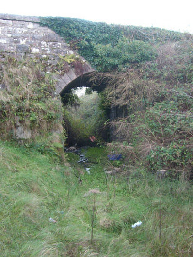 bridgebridge · 469 yd
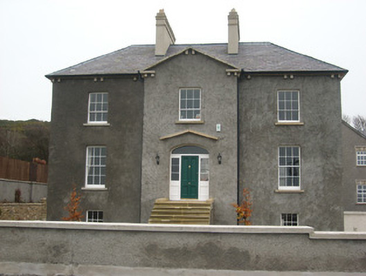 Coolmore HouseOfficially recorded historic building · 1261 yd
 Dark Cliffs at KilbarronPublicly named cliff or headland · 1336 yd
 Kilbarron Castle in ruinsCastle, tower house · 1443 yd
 RossnowlaghOfficial bathing water · 1.4 mi
 Wardtown StrandBeach / strand · 2.0 mi
 Tullan StrandBeach / strand · 2.4 mi
 St Anne's Church GraveyardGraveyard · 2.6 mi
 CastleCastle, unclassified · 2.8 mi
Other information
Photo: Credit not shown in the picture search · Rights wording not checked; contact us if this picture should be removed