
What is recorded here
Marked on the 3rd edition of the OS 6-inch map as the W section of a possible circular enclosure. Nothing survives above ground to indicate the nature of the site. It was situated in good grass land.
The above description was derived from the 'Archaeological Survey of County Donegal. A description of the field antiquities of the County from the Mesolithic Period to the 17th century.' Compiled by: Brian Lacey with Eamon Cody, Claire Cotter, Judy Cuppage, Noel Dunne, Vincent Hurley, Celie O'Rahilly, Paul Walsh and Seán Ó Nualláin (Lifford: Donegal County Council, 1983). In certain instances the entries have been revised and updated.
Date of upload: 22 September 2008
The monument record does not grant public access. Check the route and ask the landowner before entering private land.
- What survives
- Recorded monument
Places near here
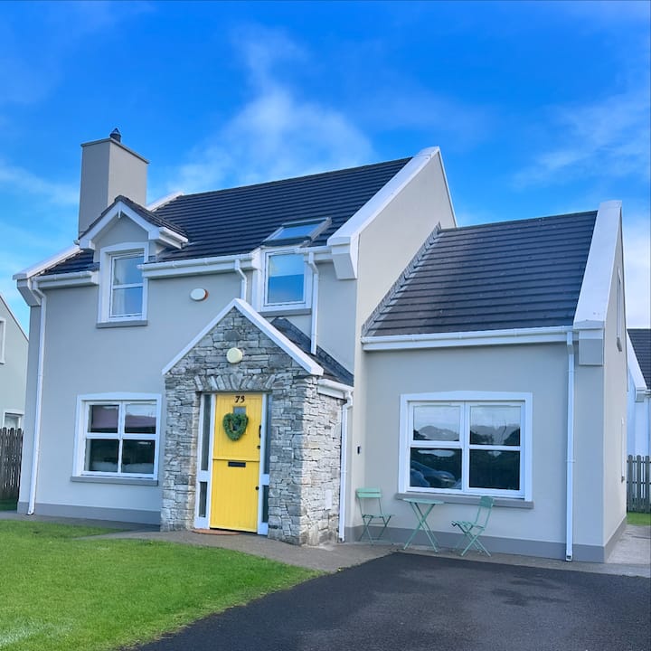 Culdaff EnclosureEnclosure · 472 yd
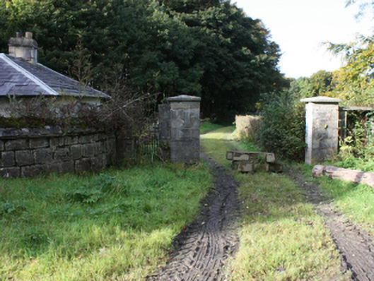 Culdaff Housegates/railings/walls · 569 yd
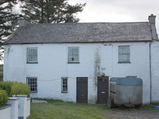 miller's house, mill (water)miller's house, mill (water) · 735 yd
 Grave Yd.Burial ground · 929 yd
 CuldaffOfficial bathing water · 1.1 mi
 CastleCastle, unclassified · 1.6 mi
 Tremone BayBeach / strand · 3.6 mi
 Carndonagh Early Church GraveyardGraveyard · 5.0 mi
 CrockavishaneMountain / peak · 5.8 mi
 The Spanish Armada 1588Memorial · 5.9 mi
 CrockaulinMountain / peak · 6.9 mi
 Castle CaryCastle, unclassified · 7.7 mi
Other information
Photo: Credit not shown in the picture search · Rights wording not checked; contact us if this picture should be removed