
What is recorded here
Cluain Tsalach was a stone ringfort on an east-facing slope above Mulroy Bay, now vanished from the ground but still named on old maps. It stood in poor, rocky soil where building meant fighting the landscape rather than shaping it. Whatever lived inside that circle did so exposed to sea wind and weather, making the fort less a home than a claim written in stone on the edge of Donegal.
The 1st and 2nd editions of the OS 6-inch maps indicate a 'Fort' here. It is now not visible. It stood on the E-facing slope overlooking Mulroy Bay in poor ground marked by much rock outcrop. Local geology suggests it was a stone enclosure.
The above description was derived from the 'Archaeological Survey of County Donegal. A description of the field antiquities of the County from the Mesolithic Period to the 17th century.' Compiled by: Brian Lacey with Eamon Cody, Claire Cotter, Judy Cuppage, Noel Dunne, Vincent Hurley, Celie O'Rahilly, Paul Walsh and Seán Ó Nualláin (Lifford: Donegal County Council, 1983). In certain instances the entries have been revised and updated.
Date of upload: 22 September 2008
The monument record does not grant public access. Check the route and ask the landowner before entering private land.
- What survives
- Recorded monument
Places near here
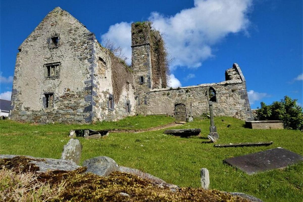 Ritual siteRitual site, holy/saint's stone · 252 yd
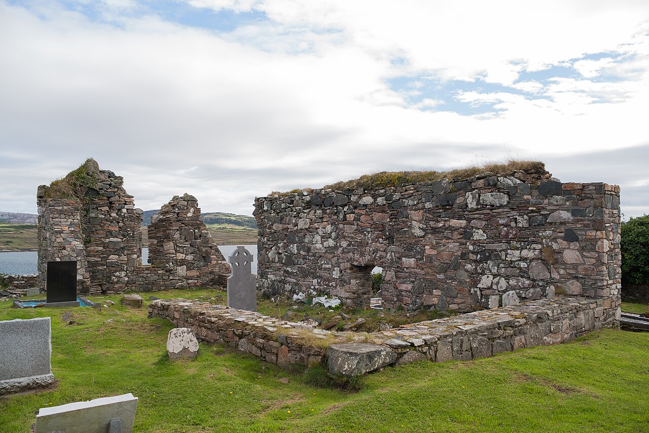 Mevagh Old ChurchChurch · 267 yd
 Mevagh High CrossCross, High cross · 276 yd
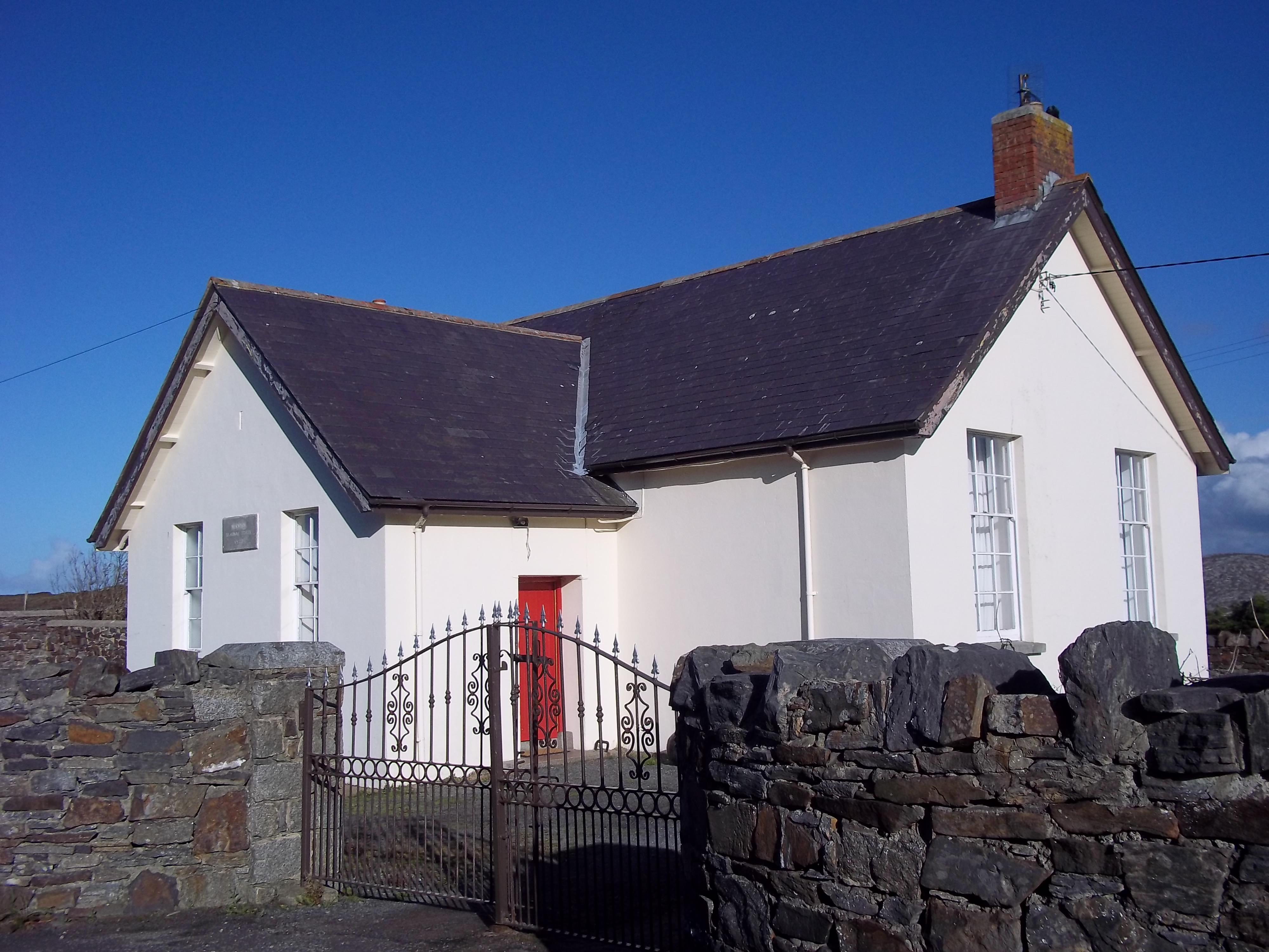 Scoil Náisiúnta Míobhaigh [Meevagh National School]school · 661 yd
 Rosses StrandBeach / strand · 1.1 mi
 Cnoc na SleáMountain / peak · 1.4 mi
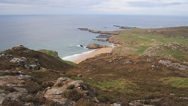 Boyeeghter StrandBeach / strand · 1.7 mi
 The Murder HoleCave · 1.8 mi
 Cliffs at Lamb's IslandPublicly named cliff or headland · 2.4 mi
 Cliffs on Ros GuillPublicly named cliff or headland · 2.4 mi
 Clonmass IslandIslet · 3.7 mi
 Moross CastleCastle, tower house · 3.9 mi
Other information
Photo: Credit not shown in the picture search · Rights wording not checked; contact us if this picture should be removed