
What is recorded here
Carrickanee Fairy Fort has vanished from the good cultivated land of County Donegal, leaving no trace behind despite appearing on old survey maps. The missing ring may represent a human home lost to time or a fairy trick that refused to be measured. Either way, the empty field preserves the mystery rather than solving it.
There is no sign of the single-ringed 'Fort' shown on the 1st and 2nd editions of the OS 6-inch maps. It was situated in fairly level good cultivated land.
The above description was derived from the 'Archaeological Survey of County Donegal. A description of the field antiquities of the County from the Mesolithic Period to the 17th century.' Compiled by: Brian Lacey with Eamon Cody, Claire Cotter, Judy Cuppage, Noel Dunne, Vincent Hurley, Celie O'Rahilly, Paul Walsh and Seán Ó Nualláin (Lifford: Donegal County Council, 1983). In certain instances the entries have been revised and updated.
Date of upload: 22 September 2008
The monument record does not grant public access. Check the route and ask the landowner before entering private land.
- What survives
- Recorded monument
Places near here
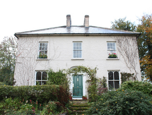 The Mansemanse · 373 yd
 Former Carrickanee Fairy FortFairy fort / ringfort · 401 yd
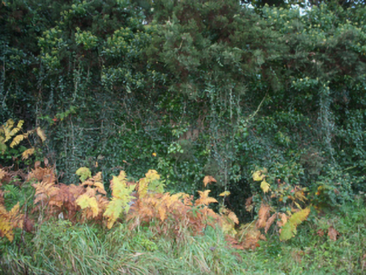 kilnkiln · 590 yd
 Mass RockNamed rock · 1252 yd
 InchIsland · 1287 yd
 Former Castlequarter Fairy FortFairy fort / ringfort · 1332 yd
 King's GraveArchaeological place · 1494 yd
 Bawn in An Machaire Beag (tc Fathain)Bawn · 1.1 mi
 Old CastleCastle, tower house · 1.3 mi
 Lackan ForestForest · 1.4 mi
 Brown’s PointHeadland · 1.5 mi
 Mullanadee ShoreBeach / strand · 2.0 mi
Other information
Photo: Credit not shown in the picture search · Rights wording not checked; contact us if this picture should be removed