What is recorded here
A ford is marked on an undated Longfield map in the NLI (21.F.44 (48)). It was probably where the road crosses the stream c. 300m N of the church (RO021-083001-), but this cannot be confirmed.
Compiled by: Michael Moore
Date of upload: 24 August 2010
The monument record does not grant public access. Check the route and ask the landowner before entering private land.
- What survives
- Recorded monument
Places near here
 CairnCairn, clearance cairn · 911 yd
 Field system in Ballyglass (castlereagh By.)Field system · 1674 yd
 Mount Druid Housestables · 1.6 mi
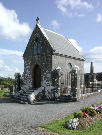 Irwin Mortuary ChapelOfficially recorded historic building · 1.8 mi
 GortnacushlaunCastle, unclassified · 2.2 mi
 CastlerubyCastle, unclassified · 3.6 mi
 Silver IslandIslet · 4.1 mi
 Workhouse MemorialMemorial · 4.7 mi
 Fairymount HillMountain / peak · 4.8 mi
 European ashEuropean ash · 5.0 mi
 ToberagullaSpring · 5.0 mi
 Clonalis HouseMuseum · 5.4 mi