What is recorded here
Bowl-shaped granite block (diam. 0.72m; H 0.4m) with a circular flat rimmed basin (D. 0.18m, tapering from 0.58 to 0.4m in Wth). Drain hole (diam. at top 0.08m; diam. at base 0.02m) at base to one side. Bulbous protrusion (0.9m x 0.14m; H 0.15m) on one side of font at top, opposite side is presently obscured where it is built into a modern altar.
Compiled by: Chris Corlett and Claire Breen
Date of upload: 12 June 2012
The monument record does not grant public access. Check the route and ask the landowner before entering private land.
- What survives
- Recorded monument
Places near here
 Church in Macreddin WestChurch · 1 yd
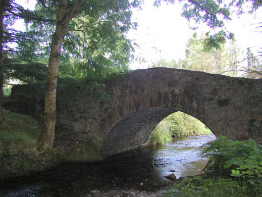 Macreddin Bridgebridge · 327 yd
 Cross in Macreddin WestCross · 410 yd
 Font (present location) in UnknownFont (present location) · 1166 yd
 (Site of) CastleCastle, unclassified · 1.3 mi
 (Site of) Castle LaurenceCastle, unclassified · 2.5 mi
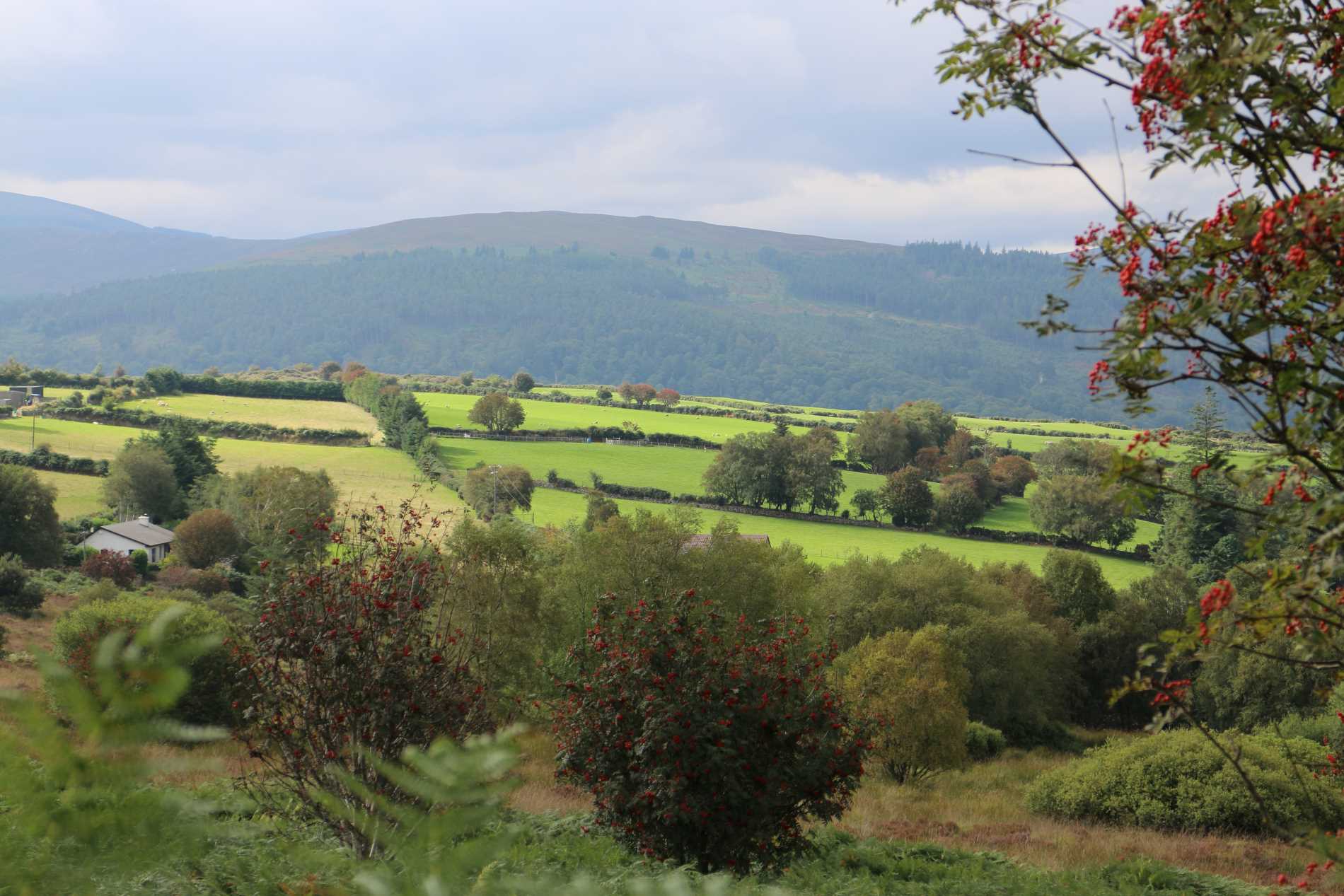 Roddenagh WoodForest · 2.5 mi
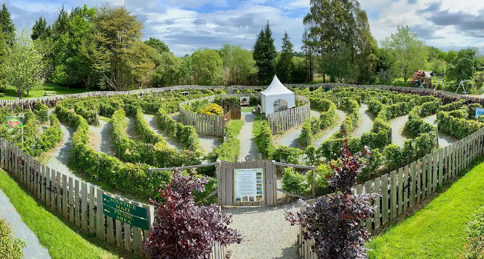 Greenan Farm Museum & MazeMuseum · 2.6 mi
 Ballinacor MountainMountain / peak · 2.7 mi
 Ballinagappoge MountainMountain / peak · 2.7 mi
 Meeting of the WatersHeritage attraction · 4.2 mi
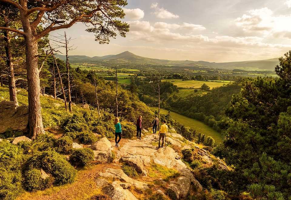 Ballyteige WoodForest · 4.6 mi