
What is recorded here
In pasture 160m W of the townland boundary with Spittle. Not depicted on the 1840 OS 6-inch or the 1897 OS 25-inch map. Annotated ‘Folaí Fiadh (Stone & Bronze implements found here about 1894’ on Cassini OS 6-inch map where it is shown as a roughly circular-shaped mound (diam. c. 16m). Described by ASI as a grass covered mound (H 1.5m) with black soil visible. No surface remains visible on Digital Globe orthoimage taken between 2011-13 or on Google Earth orthoimages.
See attached Google Earth orthoimages.
Compiled by: Martin Fitzpatrick
Date of upload: 21 November 2021
The monument record does not grant public access. Check the route and ask the landowner before entering private land.
- What survives
- Recorded monument
Places near here
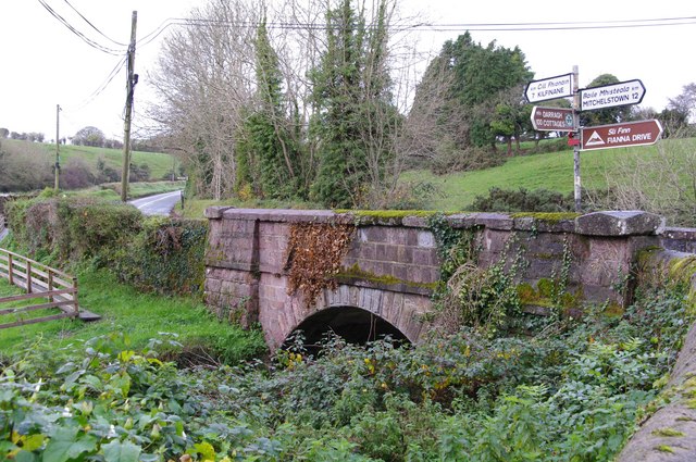 Darragh Bridgebridge · 891 yd
 Site of CastleCastle, unclassified · 901 yd
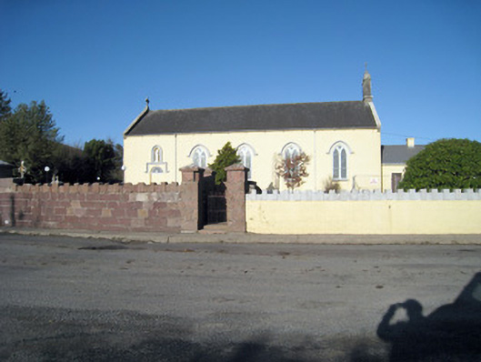 Catholic Church of Our Lady of Ransomchurch/chapel · 911 yd
 Enclosure in Ballyshane (coshlea By.)Enclosure · 1.0 mi
 BarrowBarrow, mound barrow · 1.1 mi
 CarrigeenamronetyMountain / peak · 1.8 mi
 ToberpatrickSpring · 2.2 mi
 Keale MountainMountain / peak · 2.2 mi
 Kilclooney WoodWood · 2.4 mi
 Ballyhoura WayWalking route · 2.9 mi
 Palatine's RockNamed rock · 3.2 mi
 Treada Na Ríogh (The Moat), hachuredCastle, motte · 3.7 mi
Other information
Photo: Credit not shown in the picture search · Rights wording not checked; contact us if this picture should be removed