What is recorded here
Folacht Fiadh is a Neolithic cooking site in County Cork where a wooden trough still holds fire-shattered stones after five millennia. Men hung carcasses on nearby racks, dropped chunks into boiling water and fed whole villages before draining the trough and burying it under a mound of burnt rubble. Ten similar mounds ring the pasture like abandoned cauldrons, waiting for hunger to return.
In pasture. Excavated in 1982-3 (Lehane 1988, 85-6, site 1) in advance of drainage works. Prior to excavation, site identified as a horseshoe-shaped mound of burnt material (ibid., 83). Removal of turf revealed roughly circular spread of burnt material (c. 11m N-S; c. 11.7m E-W) with slight central depression. Excavation confined to area of depression and exposed rectangular, plank-built trough (1.85m N-S; 0.7m E-W); portion of floor and parts of side planks well preserved. Trough set in pit (c. 2.3m N-S; c. 1.3m E-W) which was partially backfilled to hold trough in position. Base of trough filled to depth of c. 0.36m by fire-shattered stones in a blue-black clay loam matrix, overlain with c. 0.44m of mound material, sealed by layer of cemented buff clay (D c. 0.24m) over which was a further thin spread of mound material. A number of stake-holes cut into subsoil in NW edge of pit were tentatively identified as 'traces of racks for hanging meat' (ibid., 85). Samples of timber from one of the side planks of the trough was radiocarbon dated to 3850±30BP (GrN-11803) (ibid., 86). Mound of burnt material still visible when site inspected in 1986. Second fulacht fiadh (10257) c. 30m to NE; third (10258) c. 40m to E; fourth (10265) c. 50m to E; fifth (10729) c. 140m to ENE; sixth (10260) c. 100m to N; seventh (10259) c. 120m to N; eighth 10261) c. 200m to N; ninth (10264) c. 250m to NE and tenth (10262) c. 270m to NNW.
The above description is derived from the published 'Archaeological Inventory of County Cork. Volume 4: North Cork' (Dublin: Stationery Office, 2000). In certain instances the entries have been revised and updated in the light of recent research.
Date of upload/revision: 14 January 2009
The monument record does not grant public access. Check the route and ask the landowner before entering private land.
- What survives
- Recorded monument
Places near here
 ExcavationExcavation, miscellaneous · 84 yd
 Enclosure in Ballyclogh (fermoy By.)Enclosure · 454 yd
 Ballyclogh Church (in Ruins)Church · 982 yd
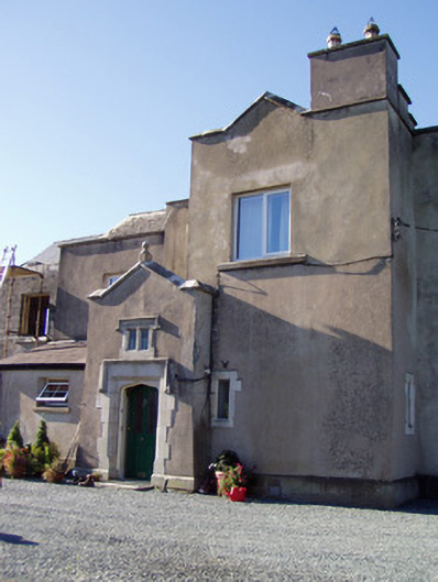 Ballyclogh Housecountry house · 1111 yd
 Ballynahow Castle (in Ruins)Castle, tower house · 1748 yd
 Ballyhindon Castle (in Ruins)Castle, unclassified · 1.1 mi
 FlagCave · 2.3 mi
 St Dominick's WellSpring · 2.5 mi
 Graveyard in BoherashGraveyard · 2.6 mi
 Ballybrack WoodForest · 5.0 mi
 Strawhall WoodForest · 5.1 mi
 Flat cemetery in Ballyenahan NorthFlat cemetery · 5.7 mi