
What is recorded here
Foilnalour is a small coastal promontory fort on Sherkin Island, County Cork, where a narrow neck still holds a 3.3m earthen bank and 2.4m fosse above Roaringwater Bay. Its level interior erodes at the edges, and a faint 3.5m hut circle lies near the western tip, suggesting people once lived where the sea could be watched but not easily entered. The place is less a grand ruin than a knife-edge of occupation: little land, strong defense, and water close enough to remind everyone how thin the margin was.
Small subrectangular area projecting W into Roaringwater Bay from Sherkin Island. Defended at neck by earthen bank (H 3.3m) and fosse (D 2.4m). Interior level and eroding along edges.
Casey (2002, 95) recorded a very indistinct hut site (diam. 3.5m) (CO149-015001-), centrally placed, close to the W extremity of the promontory.
The above description is derived from the published 'Archaeological Inventory of County Cork. Volume 1: West Cork' (Dublin: Stationery Office, 1992). In certain instances the entries have been revised and updated in the light of recent research.
Updated by: Olive Alcock
Date of revised upload: 25 February 2015
The monument record does not grant public access. Check the route and ask the landowner before entering private land.
- What survives
- Recorded monument
Places near here
 Drowlaun PointHeadland · 243 yd
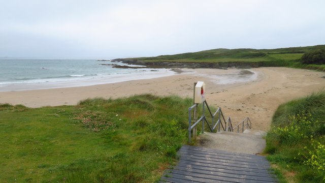 Silver StrandBeach / strand · 603 yd
 Burial ground in Kilmoon (sherkin Island)Burial ground · 801 yd
 Man-made underground passage in Cloddagh (sherkin Island)Man-made underground passage · 827 yd
 Cow StrandBeach / strand · 903 yd
 Chapel in Cloddagh (sherkin Island)Chapel · 1074 yd
 White StrandBeach / strand · 1222 yd
 Sherkin IslandIsland · 1285 yd
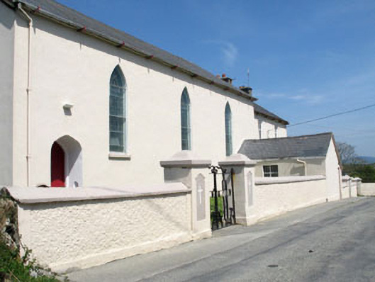 St. Mona's Roman Catholic Churchchurch/chapel · 1436 yd
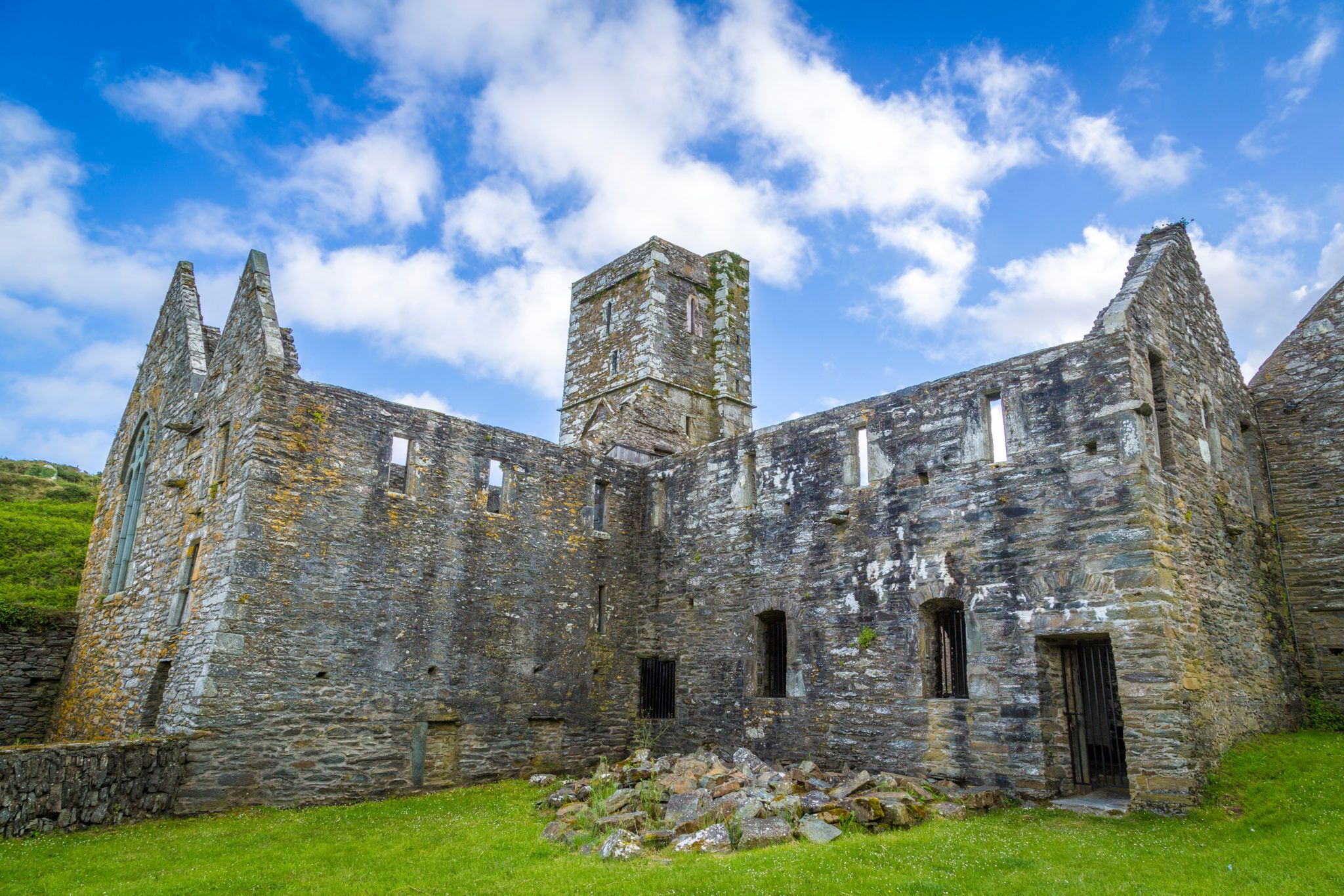 Sherkin PointHeadland · 1654 yd
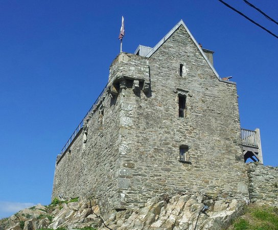 Dún na Long CastleRuins · 1.4 mi
 Heir IslandIsland · 1.4 mi
Other information
Photo: Credit not shown in the picture search · Rights wording not checked; contact us if this picture should be removed