What is recorded here
Flat cemetery in Burgage More is a level burial ground on a drowned hillcrest above the River Liffey, marked by two small pits full of charcoal and burnt bone. The reservoir took the land from human sight but it did not erase the dead, whose ashes still fleck the clay like snow fallen into a hidden room. To stand there is to remember that water can occupy a place without understanding it, and that the dead remain present long after the living stop naming them.
Located at what was probably the crest of an E-facing slope overlooking the valley of the River Liffey before it was flooded and turned into the Pollaphuca reservoir. From the Cassini edition of the OS map the location is close to a steep cliff down to the Liffey. The water of the reservoir has eroded away the topsoil and a lot of the subsoil on a fairly level plateau. Judging by the little cliff around the normal edge of the full reservoir about 30-40cm of subsoil has been removed at the edge of the shore where wave action would perhaps erode more of the soil, but the topsoil and some amount of subsoil has been removed from the extensive ground exposed now at the SE edge of Burgage More townland. The cursus (WI005-124----) is in full view at the top of a hill to the E.
After consultation with Pauline Gleeson and Sean Kirwan of the NMS it was decided to excavate the two pits. The subsoil is hard yellow clay and when it is cleaned back the pits are visible as softer brown soil with plentiful amounts of charcoal and burnt bone visible as white flecks. The white fecks are not to be confused with the white flecks of bird droppings which are also present. The first pit identified and excavated was oval (dims 23cm x 18cm; D 10cm) and its entire contents were removed for sieving. No pottery was present that we could see but it contained a soft brown soil and charcoal. The second, western, pit was smaller (dims 20cm x 18cm; D 5cm) and much less soil was recovered from it, but bone and charcoal was present.
Compiled by: Caimin O'Brien based on details provided by Michael Moore
Date of upload: 4 October 2018
A Neolithic flat cemetery; dates to the 4th–3rd millennium BCE. Its location suggests it was part of a broader ritual landscape associated with early farming communities in the River Liffey valley.
This remains an important historical record, but the official description says the monument is no longer visible or has been destroyed. The monument record does not grant public access. Check the route and ask the landowner before entering private land.
- What survives
- No visible remains or recorded as destroyed
Places near here
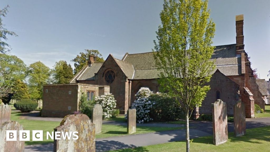 Church (in Ruins), Grave Yd., St. Marks Cross, HChurch · 658 yd
 Castle (in ruins)Castle, tower house · 659 yd
 Font in Burgage MoreFont · 713 yd
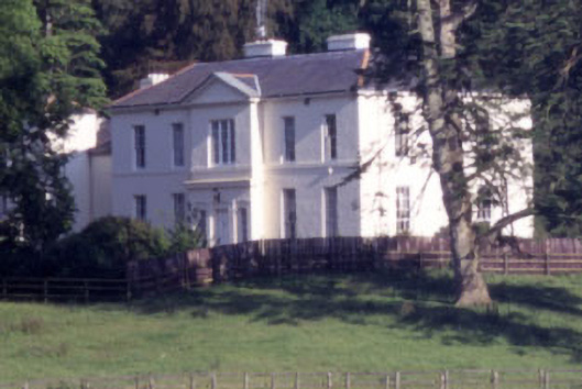 Baltyboys Housecountry house · 937 yd
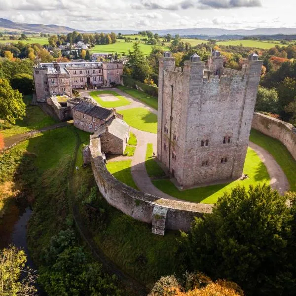 CastleCastle, ringwork · 977 yd
 CrossCross, High cross (present location) · 1124 yd
 Councillor Jim MileyMemorial · 1688 yd
 Proclamation of the Irish RepublicMemorial · 1712 yd
 Blessington DemesneWood · 1.6 mi
 Artisans WorkshopsHeritage attraction · 1.9 mi
 Deer Park PlantationForest · 1.9 mi
 National Bird of Prey CentreHeritage attraction · 1.9 mi