What is recorded here
Located on a level landscape c. 200m outside the town wall of Rindoon and c. 30m NW of the church of the Crutched Friars (RO046-004005-). A rectangular sunken area (dims of top 42m plus NNE-SSW; 14m ENE-WSW; dims of base 36m NNE-SSW; 11m ENE-WSW) is defined by wide and slight scarps (H 0.6-0.8m generally, but only 0.2m on the W side). It has a rectangular form and is visible in pasture, but its S end runs under the boundary of the garden attached to St John’s House. It is visible as a feature on the OSI aerial images (1995).
Compiled by: Michael Moore
Date of upload: 29 April, 2015
The monument record does not grant public access. Check the route and ask the landowner before entering private land.
- What survives
- Recorded monument
Places near here
 Church (in Ruins)Religious house, Fratres Cruciferi · 71 yd
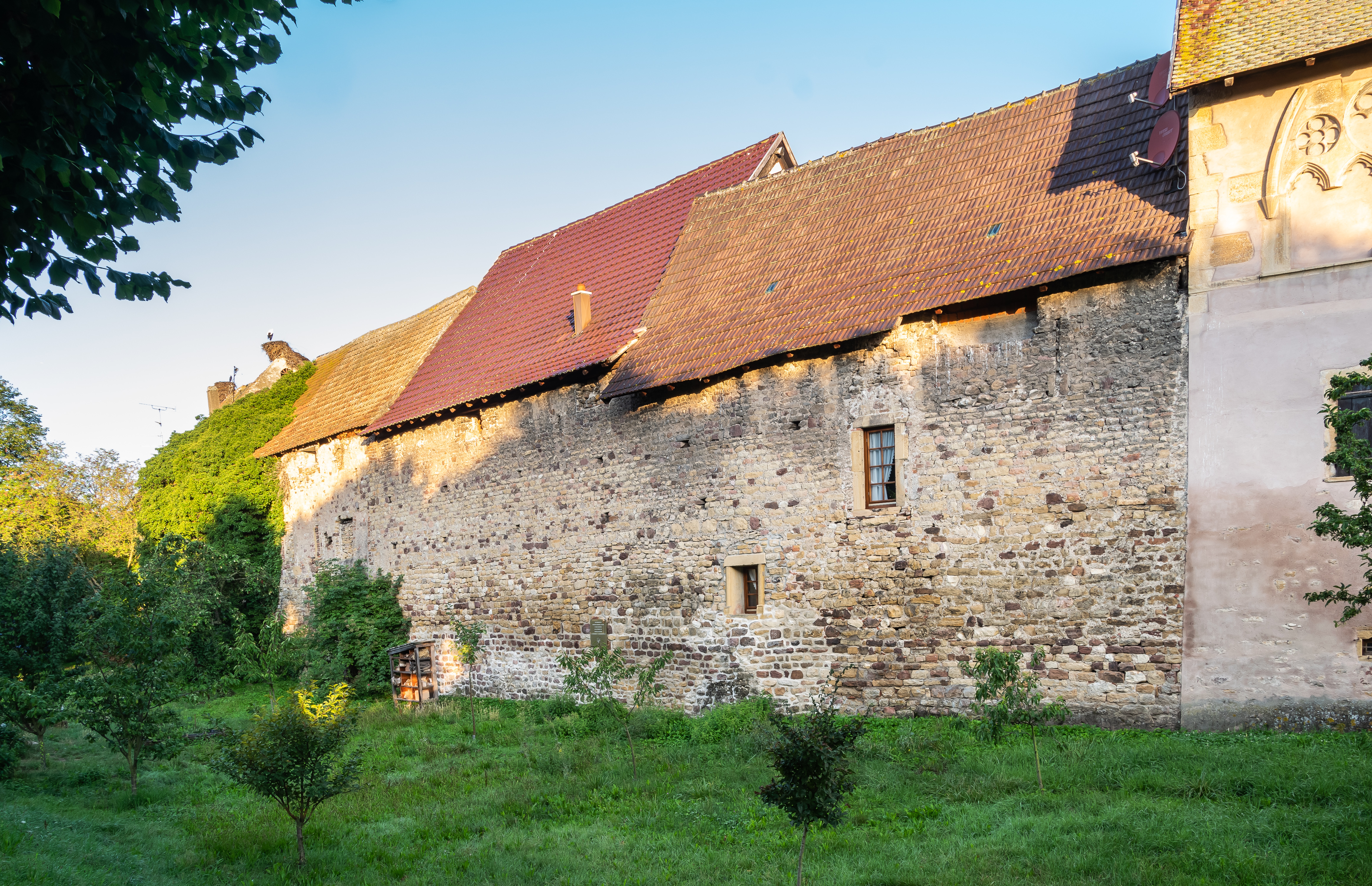 Fortified WallTown defences · 344 yd
 Historic town in Warren,rinnaganHistoric town · 744 yd
 R. C. ChapelChurch · 1045 yd
 Safe HarbourBay · 1073 yd
 Rindown CastleCastle, Anglo-Norman masonry castle · 1101 yd
 Carrownure BayBay · 1222 yd
 RindoonWood · 1504 yd
 St. John's WoodWood · 1629 yd
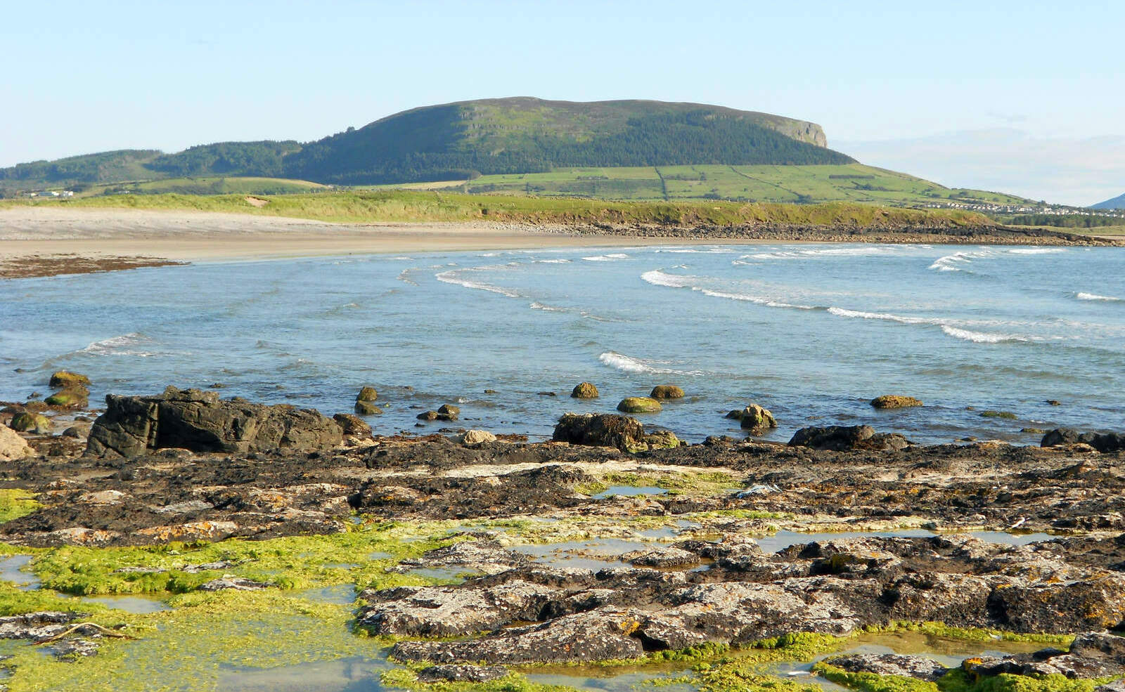 Brearoge IslandsIslet · 1.4 mi
 Horse IslandIslet · 1.5 mi
 Culnagore WoodForest · 2.8 mi