What is recorded here
A map in Smith's 'History of County Kerry' (1756, 74) indicates 'fish houses' at Derreenatoolig. These fish palaces are not known locally.
The above description is derived from the published 'Archaeological Inventory of County Kerry. Volume I: South-West Kerry' (Dublin: Stationery Office, 2009). In certain instances the entries have been revised and updated in the light of recent research.
Date of upload: 30 May 2011
The monument record does not grant public access. Check the route and ask the landowner before entering private land.
- What survives
- Recorded monument
Places near here
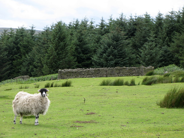 SheepfoldHut site · 563 yd
 Mass-rock in DerryrushMass-rock · 972 yd
 Habitat of DerreeniesNature reserve · 1245 yd
 KnockateeMountain / peak · 1298 yd
 Soft Tree-fernSoft Tree-fern · 1395 yd
 Derreen Househouse · 1448 yd
 IndicatedHouse, vernacular house · 1.0 mi
 DrombohillyMountain / peak · 1.7 mi
 Crane IslandIslet · 2.9 mi
 Duck RockIslet · 2.9 mi
 DroppaCliff · 4.3 mi
 Ardgroom Pulleen LoopWalking route · 4.7 mi