
What is recorded here
Firth of Tay is shown as a bay on the public map of Fife. The saved point is the map point or the centre of its mapped shape.
This does not grant access. Check current paths, opening conditions and ownership before entering.
Places near here
 Naughton HouseCountry House (18th Century) · 657 yd
 NaughtonCarved Stone Ball (period Unassigned) · 725 yd
 Naughton FarmFarmhouse (period Unassigned), Farmstead (period Unassigned) · 767 yd
 Scurr HillCultivation Terrace(s) (period Unassigned) · 908 yd
 Wormit BayBay · 1618 yd
 Tay Bridge Disaster MemorialMemorial · 1.0 mi
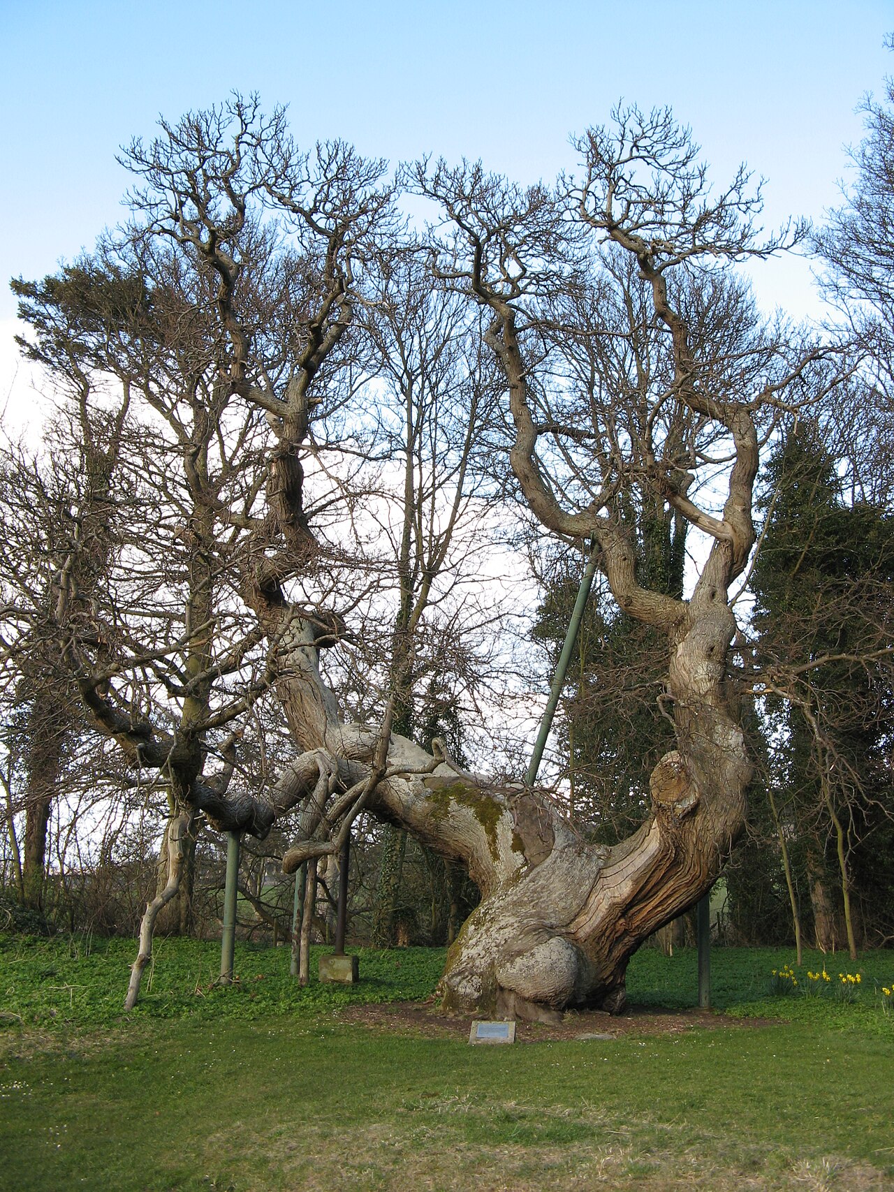 Queen Ermengarde's ChestnutSweet Chestnut · 1.1 mi
 Memorial CottagesMemorial · 1.2 mi
 The Ghoul's DenWood · 1.6 mi
 Round HillMountain / peak · 1.7 mi
 Tay MountMountain / peak · 2.5 mi
 Balmerino Parish ChurchChurch (19th Century) (1811) · 1088 yd
Other information
Photo: Val Vannet · CC BY-SA 2.0