What is recorded here
Situated on a N-facing slope of high ground overlooking a valley to the N with a nearby stream to the E in a mountainous area. A circular area (diam. 12.5m) enclosed by eleven orthostats ranging in height from 0.15m to 2m with several prostrate stones around the perimeter of the circle. A large, flat, recumbent stone lies in cente of circle. (Ó Nualláin 1987, 142-4)
The above description is derived from 'The Archaeological Inventory of County Tipperary. Vol. 1 - North Tipperary' compiled by Jean Farrelly and Caimin O'Brien (Dublin: Stationery Office, 2002). In certain instances the entries have been revised and updated in the light of recent research.
Date of upload/revision: 22 September 2008
A circular stone setting of eleven orthostats, likely dating to the Late Neolithic or Bronze Age, possibly used for ritual or communal gatherings. Its location on high ground suggests a ceremonial or territorial significance, though specific folklore or use remains unrecorded.
The monument record does not grant public access. Check the route and ask the landowner before entering private land.
- What survives
- Recorded monument
Places near here
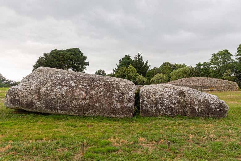 Megalithic structure in Bauraglanna,lackabrack (killoscully Par.)Megalithic structure · 540 yd
 Dermots and Granias Bed (site of)Megalithic structure · 672 yd
 Silvermine Mountains E TopMountain / peak · 1.1 mi
 Keeper HillMountain / peak · 1.1 mi
 Silvermines ViewpointViewpoint · 1.6 mi
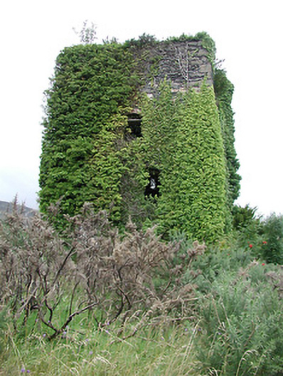 Silvermines Calamine and Lead Minesengine house · 2.0 mi
 Lead Mine/Calamine Lead Mine/Sulpher mine/CopperMine · 2.0 mi
 Dunalley Castle (in ruins)Castle, unclassified · 2.1 mi
 Our Lady Assumed into HeavenMemorial · 2.3 mi
 The MinerMemorial · 2.3 mi
 Sweet ChestnutSweet Chestnut · 2.7 mi
 Ballyhourigan WoodsForest · 2.8 mi