What is recorded here
Located on the flood-plain of the canalised NE-SW Bridgetown river, which is c. 140m to the SE. The cropmarks of some field drains covering an area of c. 3 ha are visible on aerial photographs (WX047-154_1 to _4). They appear to make narrow rectangular fields (dims c. 30-40m x c. 100m), and are probably 18th century in date.
Compiled by: Michael Moore
Date of upload: 22 October, 2013
The monument record does not grant public access. Check the route and ask the landowner before entering private land.
- What survives
- Recorded monument
Places near here
 bridgebridge · 228 yd
 Field system in Newhouse (bargy By.)Field system · 769 yd
 Church (in ruins)Church · 884 yd
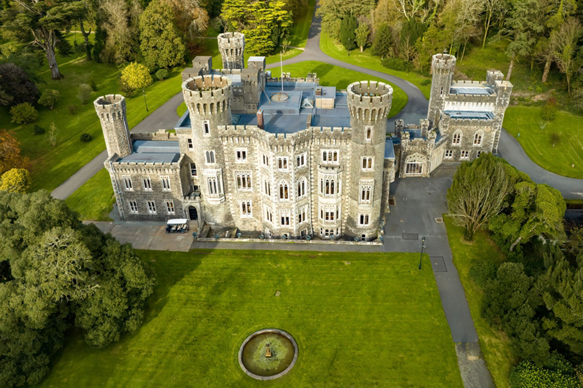 CastleRuins · 916 yd
 IndicatedCastle, motte · 960 yd
 Embanked enclosureFairy fort / earthen ringfort · 1580 yd
 Cull IslandIsland · 2.6 mi
 Ballyteigue BurrowNature reserve · 3.4 mi
 Ivan Sutton Art ExhibitionGallery · 3.6 mi
 Memorial Trail & Garden in Honour of Those Lost at SeaMemorial · 3.6 mi
 Kilmore Quay - Crehen Twinning MemorialMemorial · 3.7 mi
 Whale boneHeritage attraction · 3.7 mi