What is recorded here
On a broad E-W pasture ridge. The rath (RO022-102001-) was described in 1979 as being within a later field system of large rectangular fields (SMR file), and three relict field banks (L c. 500m) placed c. 100m apart can be seen running E-W on aerial photographs (ACAP: V206/5, 6). These are no longer visible at ground level.
Compiled by: Michael Moore
Date of upload: 24 August 2010
The monument record does not grant public access. Check the route and ask the landowner before entering private land.
- What survives
- Recorded monument
Places near here
 RoadRoad, road/trackway · 705 yd
 MonasteryReligious house, Franciscan Third Order Regular · 941 yd
 Embanked enclosureFairy fort / ringfort · 1102 yd
 European ashEuropean ash · 1180 yd
 ToberagullaSpring · 1187 yd
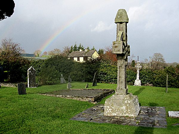 CrossCross, High cross · 1188 yd
 CastlerubyCastle, unclassified · 1.1 mi
 Cruachan Aí Heritage CentreMuseum · 1.6 mi
 CastleCastle, unclassified · 1.6 mi
 War of Independence Commemorative Military MemorialMemorial · 5.2 mi
 HawthornHawthorn · 7.4 mi
 Workhouse MemorialMemorial · 7.7 mi